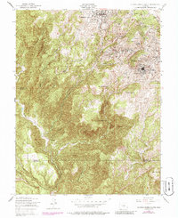
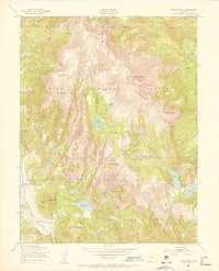
1951 Map of Cripple Creek South
USGS Topo · Published 1986About this map
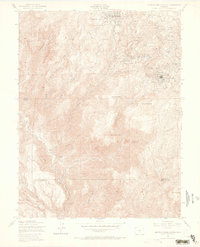
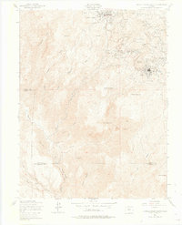
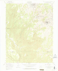
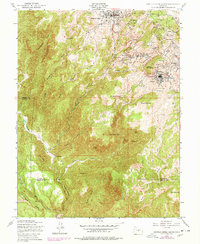
Gold mining operations and high-altitude settlements dominate this mid-century survey of the legendary Cripple Creek District. The landscape is a dense network of industrial engineering, where the Roosevelt Tunnel and Carlton Tunnel cut beneath the rugged peaks to drain the deep workings of the Pikes Peak gold belt. Significant townsites like Cripple Creek and Victor serve as the hubs for a concentrated collection of historic mines, including the Portland Mine, Vindicator Mine, and the Golden Cycle Mine. Beyond the primary urban centers, smaller communities like Altman, Elkton, and Goldfield appear alongside family-named landmarks such as Raven Hill and Rosebud Hill. This survey captures the district as it balanced its storied mining legacy with the changing infrastructure of the early 1950s, marked by numerous shafts, pits, and tailings spread across Squaw Mountain and Straub Mountain.
Find a feature on this map
63 named features on this map. Tap any name to fly to it.
Don’t see what you’re looking for? This feature index may not catch every label — zoom into the map to look around manually.
Map Details
Editions of this 1951 Cripple Creek South Map
9 editions found
Other maps of this area

1894 · Pikes Peak
USGS Topo · 1:125,000

1901 · Pikes Peak
USGS Topo · 1:125,000

1901 · Pikes Peak
USGS Topo · 1:62,500

1942 · Cover Mtn.
USGS Topo · 1:62,500

1948 · Cover Mtn.
USGS Topo · 1:62,500

1951 · Cripple Creek South
USGS Topo · 1:24,000

1951 · Big Bull Mountain
USGS Topo · 1:24,000
1951 · Pikes Peak
USGS Topo · 1:24,000

1951 · Cripple Creek North
USGS Topo · 1:24,000

1954 · Phantom Canyon
USGS Topo · 1:24,000