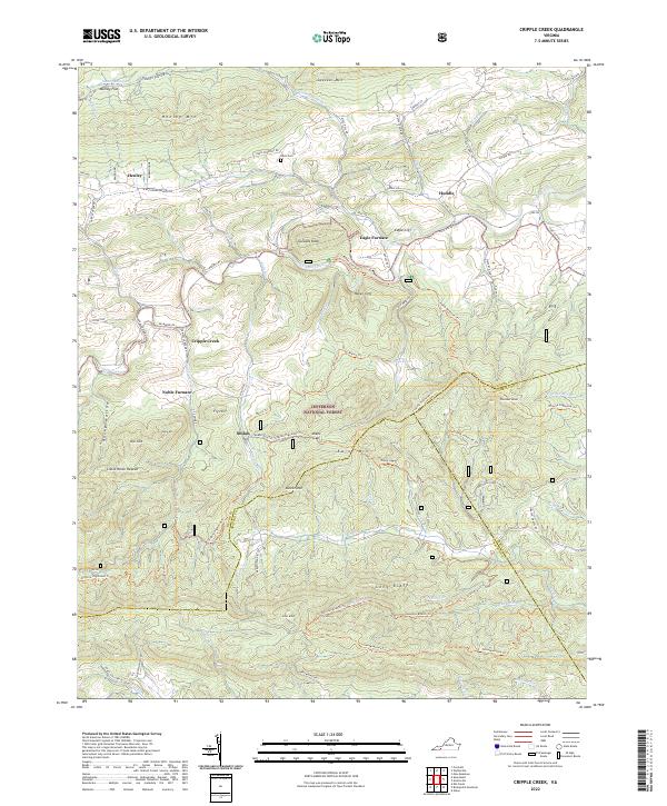
2022 Map of Cripple Creek
USGS Topo · Published 2022About this map
Iron production and rural mountain settlements define this stretch of the Virginia Highlands where the borders of Wythe, Carroll, and Grayson counties meet. The namesake Cripple Creek flows through the center of the quadrangle, passing industrial remnants like Eagle Furnace and Noble Furnace. These sites, along with the nearby community of Shiloh, point to a history of resource extraction and processing along the creek's banks. To the north, the landscape rises toward Henley Mtn and Swecker Mtn, sheltering the small hamlets of Henley and Huddle.
Find a feature on this map
93 named features on this map. Tap any name to fly to it.
Don’t see what you’re looking for? This feature index may not catch every label — zoom into the map to look around manually.
Map Details
Editions of this 2022 Cripple Creek Map
This is the sole edition of this map. No revisions or reprints were ever made.
Historical Maps of Eagle Furnace Through Time
13 maps found

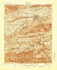
1930 Speedwell
Wythe County, VA
1935 Groseclose
Wythe County, VA
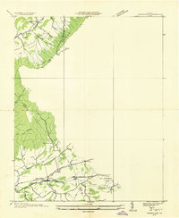
1939 Speedwell
Wythe County, VA
1965 Fosters Falls
Wythe County, VA
1965 Long Spur
Wythe County, VA
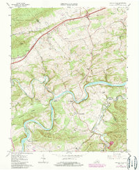
1968 Cripple Creek
Wythe County, VA
1968 Crockett
Wythe County, VA
1968 Speedwell
Wythe County, VA
2022 Cripple Creek
Wythe County, VA
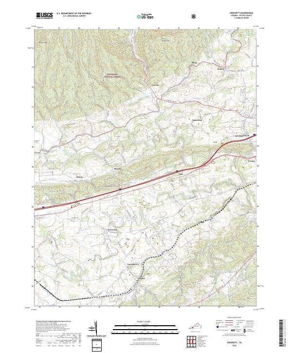
2022 Crockett
Wythe County, VA
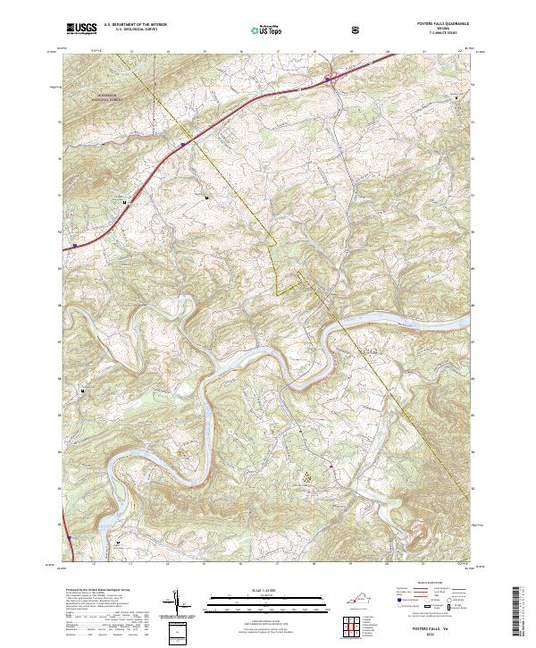
2022 Fosters Falls
Wythe County, VA
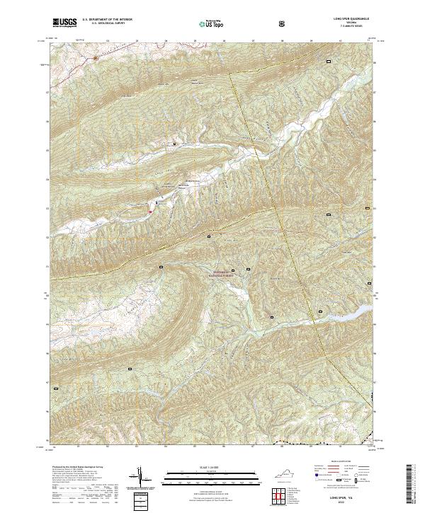
2022 Long Spur
Wythe County, VA
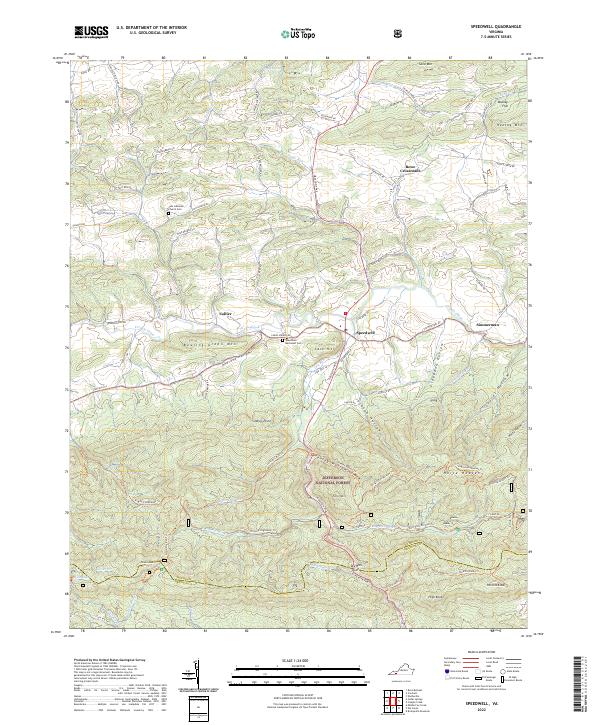
2022 Speedwell
Wythe County, VA