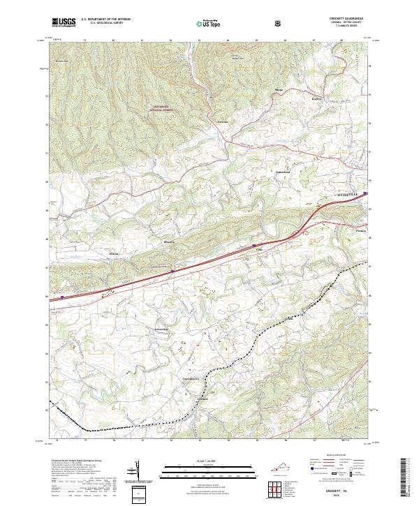
2022 Map of Crockett
USGS Topo · Published 2022About this map
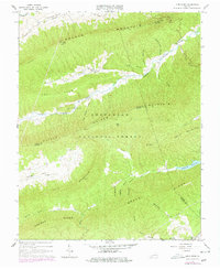
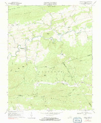
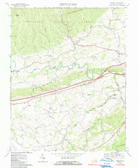
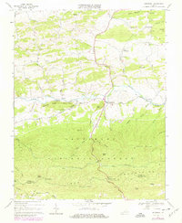
Crockett and Groseclose anchor the agricultural and transit corridor of this Wythe County landscape, where the valley floor transitions into the heights of the Jefferson National Forest. The map documents a dense network of local roads and family-named routes such as Mussers Mill Rd and Johnny Ln, reflecting generations of land use between the slopes of Little Walker Mtn and Lick Mtn. Waterways like Reed Creek and the South Fork define the drainage patterns that shaped early settlement clusters at Blessing, Wilson, and Copenhavers.
Find a feature on this map
95 named features on this map. Tap any name to fly to it.
Don’t see what you’re looking for? This feature index may not catch every label — zoom into the map to look around manually.
Map Details
Editions of this 2022 Crockett Map
This is the sole edition of this map. No revisions or reprints were ever made.
Historical Maps of Kegleys Through Time
13 maps found

1930 Speedwell
Wythe County, VA
1935 Groseclose
Wythe County, VA
1939 Speedwell
Wythe County, VA
1965 Fosters Falls
Wythe County, VA
1965 Long Spur
Wythe County, VA
1968 Cripple Creek
Wythe County, VA
1968 Crockett
Wythe County, VA
1968 Speedwell
Wythe County, VA
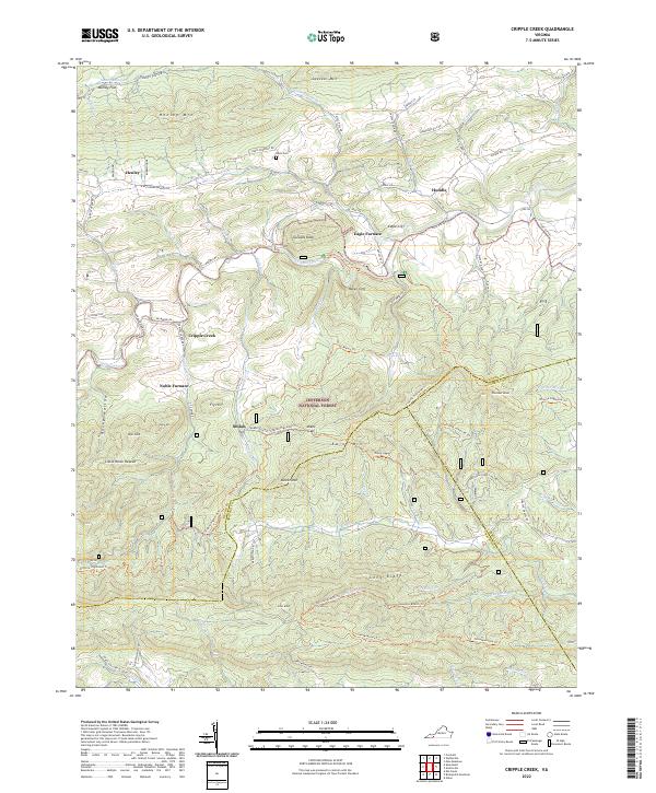
2022 Cripple Creek
Wythe County, VA
2022 Crockett
Wythe County, VA
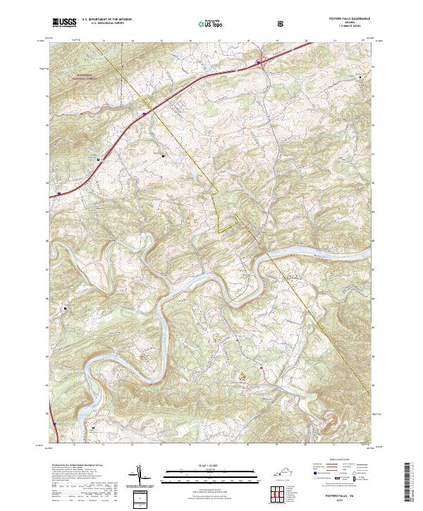
2022 Fosters Falls
Wythe County, VA
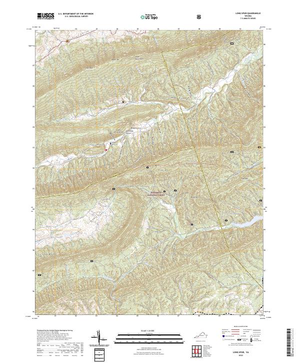
2022 Long Spur
Wythe County, VA
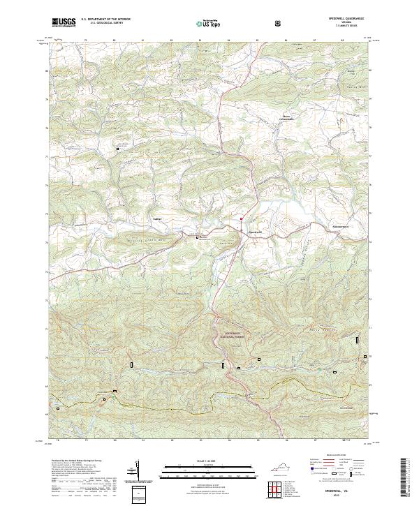
2022 Speedwell
Wythe County, VA