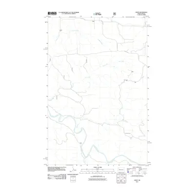
2011 Map of Croff
USGS Topo · Published 2011About this map
The Little Missouri River carves a winding path through this portion of McKenzie County, defining the drainage patterns for numerous tributaries including Deep Creek and Burnt Creek. At the time of this 2011 survey, the landscape reflects a mixture of traditional ranching and modern energy extraction. Named ranching sites like Kennedy Ranch, Signalness Ranch, and Fenton Ranch are situated near these watercourses, while the Bear Den Oil Field indicates the industrial footprint of the Bakken formation in western North Dakota. The small settlement of Croff sits at the junction of County Hwy 45 and County Hwy 53 in the northern portion of the quadrangle. The map captures a transition where remote high plains terrain meets the infrastructure of the energy industry, connected by a network of county routes and local roads that follow the ridges and creek valleys.
Find a feature on this map
15 named features on this map. Tap any name to fly to it.
Don’t see what you’re looking for? This feature index may not catch every label — zoom into the map to look around manually.
Map Details
Editions of this 2011 Croff Map
This is the sole edition of this map. No revisions or reprints were ever made.
Other maps of this area

1953 · Watford City
USGS Topo · 1:250,000

1957 · Watford City
USGS Topo · 1:250,000
1958 · Lone Butte SE
USGS Topo · 1:24,000
1958 · North Killdeer Mountain
USGS Topo · 1:24,000
1959 · Croff
USGS Topo · 1:24,000
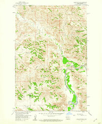
1959 · Lone Butte NE
USGS Topo · 1:24,000
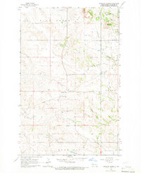
1965 · Johnsons Corner
USGS Topo · 1:24,000
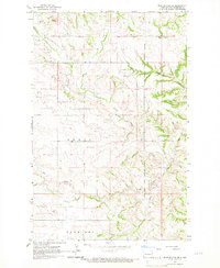
1965 · Blue Buttes SE
USGS Topo · 1:24,000

1967 · Watford City
USGS Topo · 1:250,000
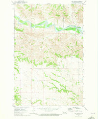
1970 · Lost Bridge
USGS Topo · 1:24,000