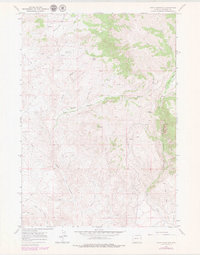
1967 Map of Crow Mountain
USGS Topo · Published 1979About this map
The Wind River Indian Reservation contains this high-elevation landscape, where the prominent Crow Mountain and Lower Table rise above a network of drainages. Published in 1979 from 1967 field data, the survey highlights a complex water system including the Crow Creek Canyon and the Crow Creek Basin. For the local historian or geologist, the map documents numerous natural water sources like Cantrell Spring and the Mountain Meadows area, as well as the technical infrastructure of the day, such as a Gaging Sta along the creek. A sparse network of Jeep Trails provides the primary means of navigating the varied terrain, crossing through Sand Draw and along the East Branch Wildcat Creek.
Find a feature on this map
15 named features on this map. Tap any name to fly to it.
Don’t see what you’re looking for? This feature index may not catch every label — zoom into the map to look around manually.
Map Details
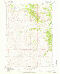
Editions of this 1967 Crow Mountain Map
2 editions found
Other maps of this area

1904 · Kirwin
USGS Topo · 1:125,000

1906 · Kirwin
USGS Topo · 1:125,000

1952 · Wilderness
USGS Topo · 1:24,000

1952 · Crowheart NW
USGS Topo · 1:24,000

1952 · Blue Holes
USGS Topo · 1:24,000

1955 · Thermopolis
USGS Topo · 1:250,000

1958 · Thermopolis
USGS Topo · 1:250,000

1962 · Thermopolis
USGS Topo · 1:250,000
1967 · Bain Draw
USGS Topo · 1:24,000

1967 · Monument Peak
USGS Topo · 1:24,000