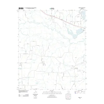
2012 Map of Crow
USGS Topo · Published 2012About this map
The Sabine River winds through this East Texas landscape, forming a complex network of tributaries including Lake Fork Cr and Saline Cr. In the northern reaches, the community of Crow sits along a major transportation corridor, while Angler occupies the shoreline of Brumley Lake and Lake Hawkins. The presence of the Old Dallas-Shreveport Rd suggests the enduring path of early overland travel through the region.
Find a feature on this map
92 named features on this map. Tap any name to fly to it.
Don’t see what you’re looking for? This feature index may not catch every label — zoom into the map to look around manually.
Map Details
Editions of this 2012 Crow Map
This is the sole edition of this map. No revisions or reprints were ever made.
Other maps of this area

1938 · Winona
USGS Topo · 1:48,000

1943 · Winona
USGS Topo · 1:62,500

1948 · Tyler
USGS Topo · 1:62,500

1949 · Tyler
USGS Topo · 1:62,500

1956 · Tyler
USGS Topo · 1:250,000

1960 · Shady Grove
USGS Topo · 1:24,000

1960 · Hawkins
USGS Topo · 1:24,000

1960 · Hainesville
USGS Topo · 1:24,000

1960 · Lindale
USGS Topo · 1:24,000

1960 · Mineola
USGS Topo · 1:24,000