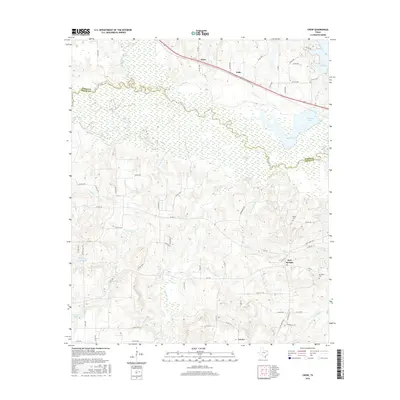
2016 Map of Crow
USGS Topo · Published 2016About this map
The Sabine River meanders across the border of Wood and Smith Counties, defining a landscape of low-lying wetlands and creek systems. To the north, the small settlements of Crow and Fada sit along the highway corridor, while the community of Red Springs anchors the southeastern portion of the map. This area is characterized by a high concentration of water bodies and tributary networks, including the Saline Cr and Jim Ned Cr which feed into the primary river valley.
Find a feature on this map
76 named features on this map. Tap any name to fly to it.
Don’t see what you’re looking for? This feature index may not catch every label — zoom into the map to look around manually.
Map Details
Editions of this 2016 Crow Map
This is the sole edition of this map. No revisions or reprints were ever made.
Other maps of this area

1938 · Winona
USGS Topo · 1:48,000

1943 · Winona
USGS Topo · 1:62,500

1948 · Tyler
USGS Topo · 1:62,500

1949 · Tyler
USGS Topo · 1:62,500

1956 · Tyler
USGS Topo · 1:250,000

1960 · Shady Grove
USGS Topo · 1:24,000

1960 · Hawkins
USGS Topo · 1:24,000

1960 · Hainesville
USGS Topo · 1:24,000

1960 · Lindale
USGS Topo · 1:24,000

1960 · Mineola
USGS Topo · 1:24,000