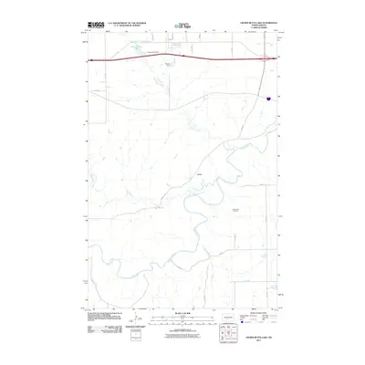
2011 Map of Crown Butte Lake
USGS Topo · Published 2011About this map
Heart River meanders through the southern half of this landscape, creating a complex series of oxbows and bends that define the local geography. The settlement of Lyons is situated north of this waterway, serving as a focal point in a region characterized by agricultural sections and water management. To the north, the terrain is managed by infrastructure such as Crown Butte Dam, which contains the waters of Crown Butte Lake, and the nearby Boehm Dam located along the upper reaches of Crown Butte Creek.
Find a feature on this map
23 named features on this map. Tap any name to fly to it.
Don’t see what you’re looking for? This feature index may not catch every label — zoom into the map to look around manually.
Map Details
Editions of this 2011 Crown Butte Lake Map
This is the sole edition of this map. No revisions or reprints were ever made.
Other maps of this area

1907 · Bismarck
USGS Topo · 1:125,000

1951 · Bismarck
USGS Topo · 1:62,500

1951 · Mandan
USGS Topo · 1:24,000

1954 · Bismarck
USGS Topo · 1:250,000

1958 · Bismarck
USGS Topo · 1:250,000

1962 · Harmon
USGS Topo · 1:24,000

1962 · Mandan
USGS Topo · 1:24,000

1972 · Sweet Briar
USGS Topo · 1:24,000

1972 · Crown Butte Lake
USGS Topo · 1:24,000

1972 · Crown Butte NW
USGS Topo · 1:24,000