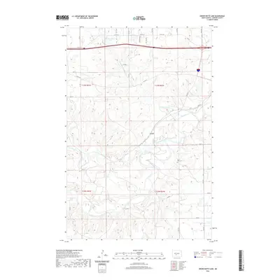
2020 Map of Crown Butte Lake
USGS Topo · Published 2020About this map
Heart River Cem sits on the high ground north of the Heart River loop, serving as a focal point for the rural genealogy of this Morton County landscape. The terrain is defined by the winding paths of Sweetbriar Creek and Crown Butte Cr as they converge toward the larger river system. The small settlement of Lyons and the nearby Z P Field reflect a transition in local land use, while Crown Butte Lake occupies the northwestern corner of the quadrangle. A network of county roads, including Co RD 139a and Lyons Rd, follows the section lines of the Public Land Survey System, providing access to the various farmsteads and agricultural plots that comprise this prairie region. The elevation contours reveal the intricate drainage patterns that have shaped the river valley, illustrating the relationship between the watercourses and the established transport routes like Twp Rd 1.
Find a feature on this map
31 named features on this map. Tap any name to fly to it.
Don’t see what you’re looking for? This feature index may not catch every label — zoom into the map to look around manually.
Map Details
Editions of this 2020 Crown Butte Lake Map
This is the sole edition of this map. No revisions or reprints were ever made.
Other maps of this area

1907 · Bismarck
USGS Topo · 1:125,000

1951 · Bismarck
USGS Topo · 1:62,500

1951 · Mandan
USGS Topo · 1:24,000

1954 · Bismarck
USGS Topo · 1:250,000

1958 · Bismarck
USGS Topo · 1:250,000

1962 · Harmon
USGS Topo · 1:24,000

1962 · Mandan
USGS Topo · 1:24,000

1972 · Sweet Briar
USGS Topo · 1:24,000

1972 · Crown Butte Lake
USGS Topo · 1:24,000

1972 · Crown Butte NW
USGS Topo · 1:24,000