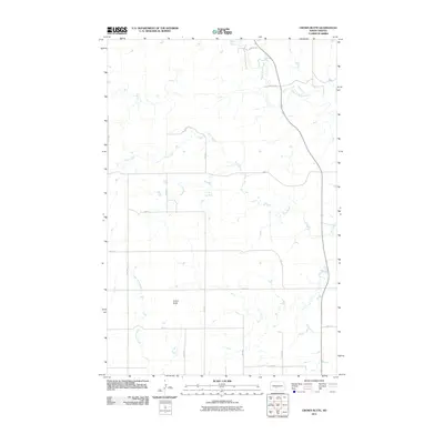
2011 Map of Crown Butte
USGS Topo · Published 2011About this map
Crown Butte rises as a prominent landmark above the Missouri plateau, overlooking a landscape defined by the drainage networks of several seasonal and permanent watercourses. The local geography is shaped by the winding paths of Square Butte Creek in the northeast and Otter Creek which traverses the central section of this territory. This area of Morton County demonstrates a late-twentieth-century rural development pattern, where a systematic grid of section roads like 29th Ave and 32nd St provides access across the open terrain. The mapping reveals how Crown Butte Creek meanders through the southern portions, illustrating the natural water management of the northern plains. This record is particularly useful for understanding the exact positioning of rural corridors and the topographic relationship between the high ground and the creek valleys in this North Dakota interior.
Find a feature on this map
20 named features on this map. Tap any name to fly to it.
Don’t see what you’re looking for? This feature index may not catch every label — zoom into the map to look around manually.
Map Details
Editions of this 2011 Crown Butte Map
This is the sole edition of this map. No revisions or reprints were ever made.
Other maps of this area

1907 · Bismarck
USGS Topo · 1:125,000

1950 · Wilton
USGS Topo · 1:62,500

1951 · Bismarck
USGS Topo · 1:62,500

1951 · Mandan
USGS Topo · 1:24,000

1954 · Bismarck
USGS Topo · 1:250,000

1954 · McClusky
USGS Topo · 1:250,000

1958 · Bismarck
USGS Topo · 1:250,000

1958 · McClusky
USGS Topo · 1:250,000

1962 · Harmon
USGS Topo · 1:24,000

1962 · Mandan
USGS Topo · 1:24,000