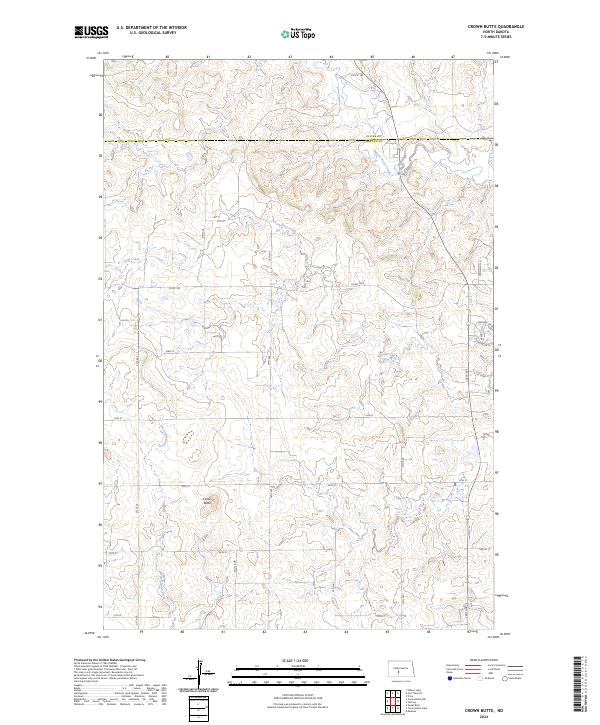
2024 Map of Crown Butte
USGS Topo · Published 2024About this map
Crown Butte rises as a prominent landmark above the winding drainages of the North Dakota plains, anchoring a landscape defined by the intersection of Otter Creek and Square Butte Creek. This 2024 survey captures the precise drainage patterns of Crown Butte Creek and the established rural road network that follows the section lines of the Public Land Survey System. The area is divided by the Oliver Co and Morton Co boundary, illustrating the administrative divisions of this agricultural region. Transportation in this part of the state relies on a grid of local routes like Co Rd 140 and Twp Rd 13, providing access to the high plateaus and creek valleys that have shaped the local economy and land use for generations.
Find a feature on this map
25 named features on this map. Tap any name to fly to it.
Don’t see what you’re looking for? This feature index may not catch every label — zoom into the map to look around manually.
Map Details
Editions of this 2024 Crown Butte Map
This is the sole edition of this map. No revisions or reprints were ever made.
Other maps of this area

1907 · Bismarck
USGS Topo · 1:125,000

1950 · Wilton
USGS Topo · 1:62,500

1951 · Bismarck
USGS Topo · 1:62,500

1951 · Mandan
USGS Topo · 1:24,000

1954 · Bismarck
USGS Topo · 1:250,000

1954 · McClusky
USGS Topo · 1:250,000

1958 · Bismarck
USGS Topo · 1:250,000

1958 · McClusky
USGS Topo · 1:250,000

1962 · Harmon
USGS Topo · 1:24,000

1962 · Mandan
USGS Topo · 1:24,000