Loading...
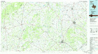
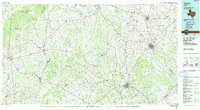
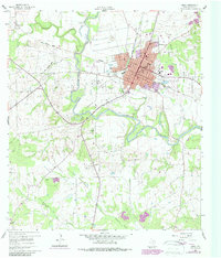
Loading map...1985 Map of Cuero
USGS Topo · Published 1985About this map
The Guadalupe River and San Marcos River converge in this South Texas landscape, anchoring a region defined by agricultural heritage and the mid-century expansion of the petroleum industry. Numerous named oil fields, including the Egleto Oil Field and Thomaston Oil Field, are scattered across the terrain, indicating the intensive energy extraction that shaped the local economy by the 1980s. The transportation network is dominated by the Southern Pacific Railroad, which links established settlements like Nixon, Smiley, and Westhoff.
Find a feature on this map
117 named features on this map. Tap any name to fly to it.
Don’t see what you’re looking for? This feature index may not catch every label — zoom into the map to look around manually.
Map Details
Date Portrayed1985
Date Published1985
PublisherU.S. Geological Survey
Map TypeTopographic
Scale1:100,000
Physical Dimensions43.8 x 24.1 inches
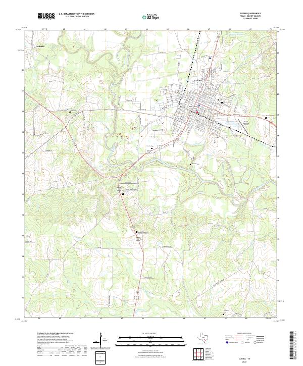
Editions of this 1985 Cuero Map
2 editions found
Historical Maps of Gonzales Through Time
Featured Locations
Source Details
SourceU.S. Geological Survey
CopyrightPublic Domain