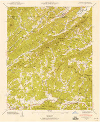
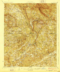
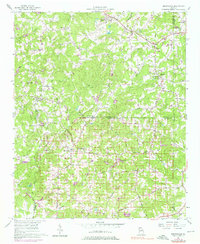
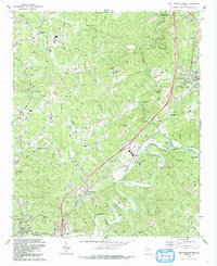
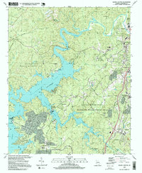
1941 Map of Culberson
USGS Topo · Published 1958This historical map portrays the area of Culberson in 1941, primarily covering Cherokee County as well as portions of Cherokee County and North Carolina. Featuring a scale of 1:24000, this map provides a highly detailed snapshot of the terrain, roads, buildings, counties, and historical landmarks in the Culberson region at the time. Published in 1958, it is one of 4 known editions of this map due to revisions or reprints.
Find a feature on this map
93 named features on this map. Tap any name to fly to it.
Don’t see what you’re looking for? This feature index may not catch every label — zoom into the map to look around manually.
Map Details
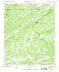
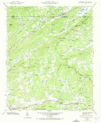
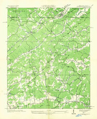
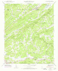
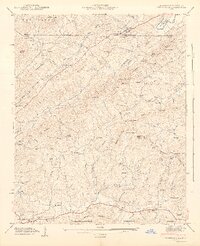
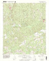
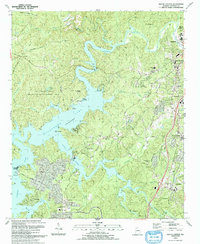
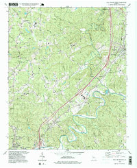
Editions of this 1941 Culberson Map
4 editions found
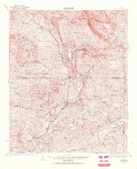
Historical Maps of Wright Mill Through Time
15 maps found
1926 Tate
Cherokee County, GA
1928 Tate
Cherokee County, GA
1935 Culberson
Cherokee County, GA
1941 Culberson
Cherokee County, GA
1942 Culberson
Cherokee County, GA
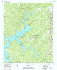
1956 Birmingham
Cherokee County, GA
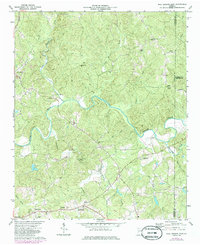
1961 South Canton
Cherokee County, GA
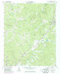
1973 Ball Ground East
Cherokee County, GA
1973 Ball Ground West
Cherokee County, GA
1992 Ball Ground West
Cherokee County, GA
1993 Ball Ground East
Cherokee County, GA
1993 South Canton
Cherokee County, GA
1997 Ball Ground West
Cherokee County, GA
1997 South Canton
Cherokee County, GA
1999 Ball Ground East
Cherokee County, GA