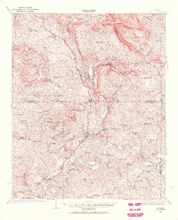
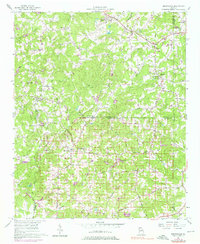
1941 Map of Culberson
USGS Topo · Published 1975About this map
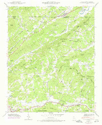
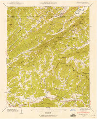
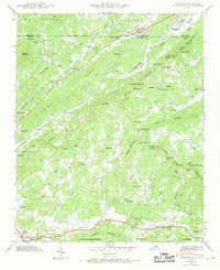
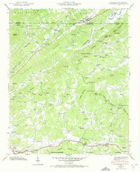
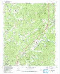
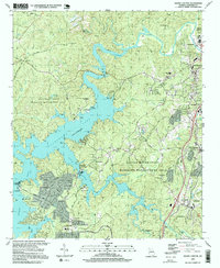
Culberson sits at the northern edge of this survey, marking the crossing of the Louisville and Nashville railroad over the state line between North Carolina and Georgia. The map details a high-elevation landscape defined by the Dividing Ridge and several prominent peaks including Mull Mountain and Thomas Mountain. Settlement is concentrated along the valleys of Hemptown Creek and Notla Creek, where numerous small community centers appear. Local life in the 1940s is reflected in a dense network of mountain institutions, from rural schools like Cutcane Sch and Flint Grove Sch to historic congregations at Bethel Ch and Oak Grove Ch. Industrial history is visible in the numerous mills lining the mountain branches, such as Mashburn Mill, Bryan Mill, and Wright Mill, which highlight the importance of water power to the local economy before widespread modern infrastructure.
Find a feature on this map
97 named features on this map. Tap any name to fly to it.
Don’t see what you’re looking for? This feature index may not catch every label — zoom into the map to look around manually.
Map Details
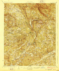
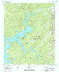
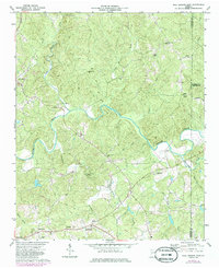
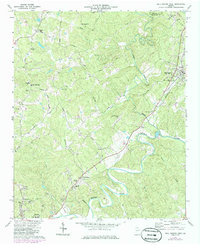
Editions of this 1941 Culberson Map
4 editions found
Historical Maps of Morganton Through Time
35 maps found
1926 Tate
Cherokee County, GA
1928 Tate
Cherokee County, GA
1935 Culberson
Cherokee County, GA
1941 Culberson
Cherokee County, GA
1942 Culberson
Cherokee County, GA
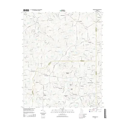
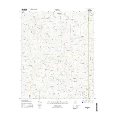
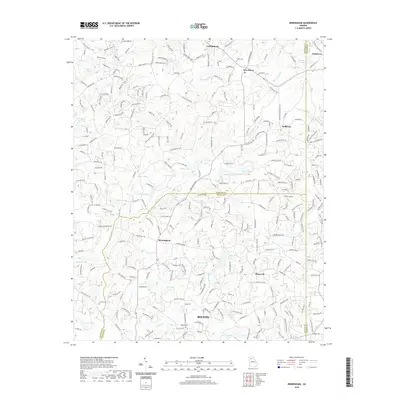
1956 Birmingham
Cherokee County, GA
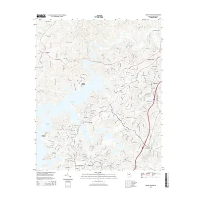
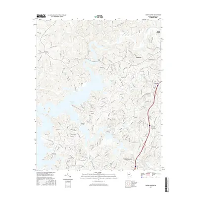
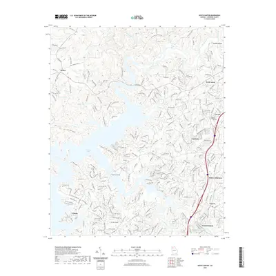
1961 South Canton
Cherokee County, GA
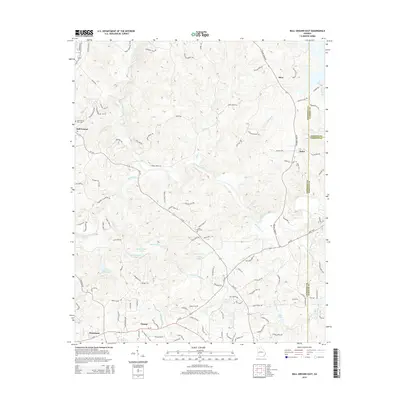
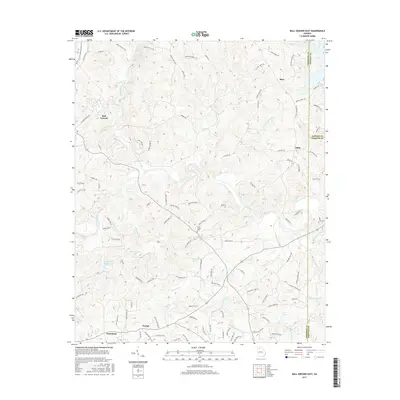
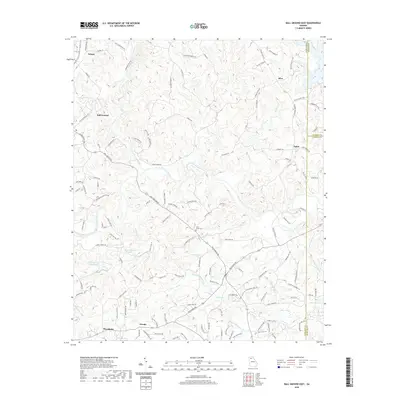
1973 Ball Ground East
Cherokee County, GA
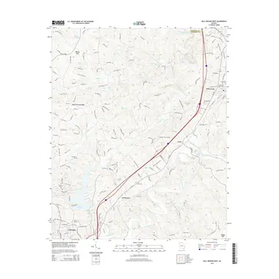
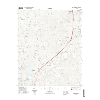
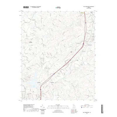
1973 Ball Ground West
Cherokee County, GA
1992 Ball Ground West
Cherokee County, GA
1993 Ball Ground East
Cherokee County, GA
1993 South Canton
Cherokee County, GA
1997 Ball Ground West
Cherokee County, GA
1997 South Canton
Cherokee County, GA
1999 Ball Ground East
Cherokee County, GA
2011 Ball Ground East
Cherokee County, GA

2011 Ball Ground West
Cherokee County, GA
2011 Birmingham
Cherokee County, GA

2011 South Canton
Cherokee County, GA
2014 Ball Ground East
Cherokee County, GA
2014 Ball Ground West
Cherokee County, GA
2014 Birmingham
Cherokee County, GA
2014 South Canton
Cherokee County, GA
2017 Ball Ground East
Cherokee County, GA
2017 Ball Ground West
Cherokee County, GA
2017 Birmingham
Cherokee County, GA
2017 South Canton
Cherokee County, GA
2020 Ball Ground East
Cherokee County, GA
2020 Ball Ground West
Cherokee County, GA
2020 Birmingham
Cherokee County, GA
2020 South Canton
Cherokee County, GA
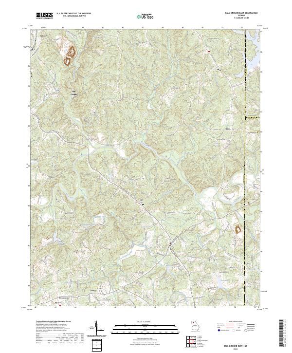
2024 Ball Ground East
Cherokee County, GA
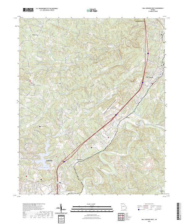
2024 Ball Ground West
Cherokee County, GA
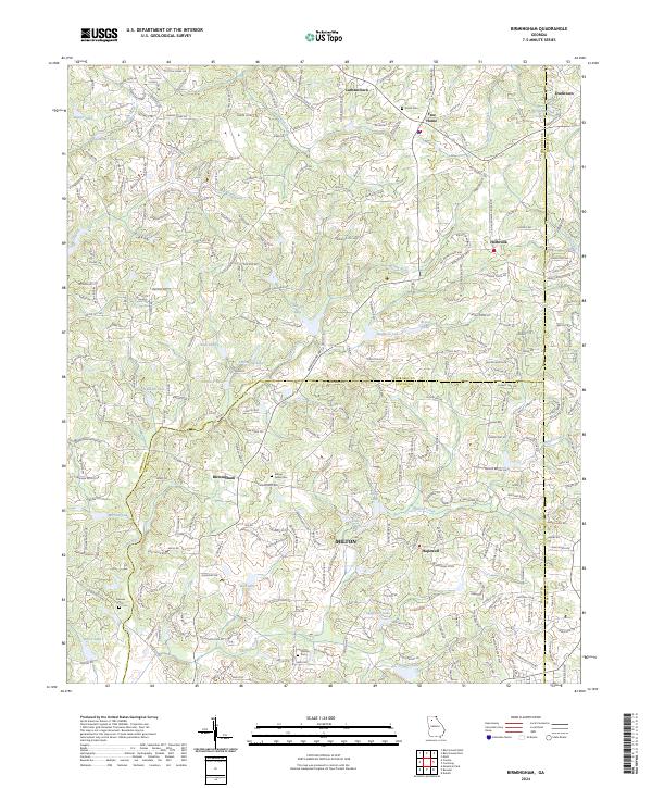
2024 Birmingham
Cherokee County, GA
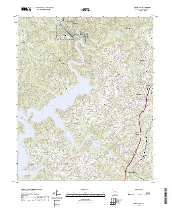
2024 South Canton
Cherokee County, GA