
1892 Map of Cullman
USGS Topo · Published 1892About this map
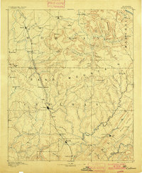
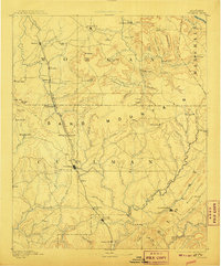
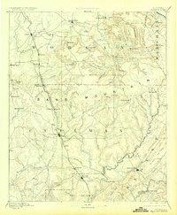
Louisville and Nashville Railroad tracks dominate the central corridor of this survey, serving as the industrial backbone for the growing town of Cullman and smaller depots like Falkville and Hanceville. The landscape transitions from the upland heights of Sand Mountain down to the complex drainage systems of the Mulberry Fork of Black Warrior River. Settlers during this era relied on a network of primitive transportation routes, most notably the historic Stout's Road, which navigated the ridges near Phelan's.
Find a feature on this map
100 named features on this map. Tap any name to fly to it.
Don’t see what you’re looking for? This feature index may not catch every label — zoom into the map to look around manually.
Map Details
Editions of this 1892 Cullman Map
4 editions found
Other maps of this area

1885 · Gadsden
USGS Topo · 1:125,000

1888 · Cullman
USGS Topo · 1:125,000

1888 · Gadsden
USGS Topo · 1:125,000

1888 · Scottsboro
USGS Topo · 1:125,000

1888 · Huntsville
USGS Topo · 1:125,000

1889 · Springville
USGS Topo · 1:125,000

1889 · Birmingham
USGS Topo · 1:125,000

1892 · Birmingham
USGS Topo · 1:125,000

1892 · Springville
USGS Topo · 1:125,000

1892 · Huntsville
USGS Topo · 1:125,000