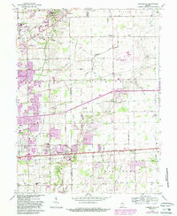
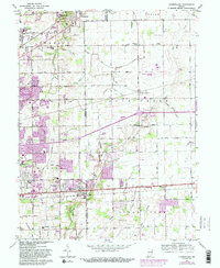
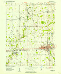
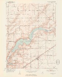
1962 Map of Cumberland
USGS Topo · Published 1988About this map
Cumberland stands as a focal point along the historic National Road, marking the transition between the urban reach of Indianapolis and the agricultural lands of Hancock County. The map reveals a landscape defined by its small family burial grounds and early civic institutions, such as the Washington Park Cemetery East and the sprawling Fort Benjamin Harrison Mil Res in the northwest. Local education and recreation are centered around the Warren Central High School and several rural schools like the Township Sch. Drainage patterns, essential for both the growing suburbs and the surrounding farms, are traced through the winding courses of Buck Creek and the Trittipo Ditch. Cultural landmarks of the mid-century era, including a Drive-in Theater and the Mount Comfort Airport, illustrate the post-war development and mobility of this Indiana corridor.
Find a feature on this map
92 named features on this map. Tap any name to fly to it.
Don’t see what you’re looking for? This feature index may not catch every label — zoom into the map to look around manually.
Map Details
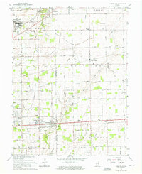
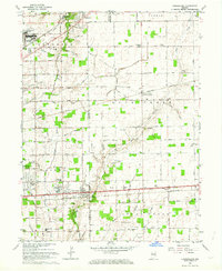
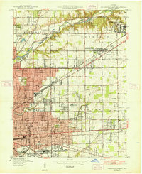
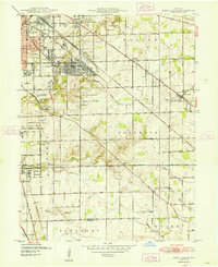
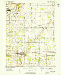
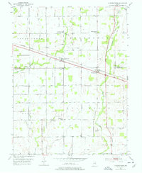
Editions of this 1962 Cumberland Map
5 editions found
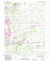
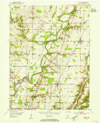
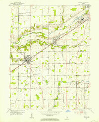
Other maps of this area
1948 · Indianapolis East
USGS Topo · 1:24,000
1948 · Beech Grove
USGS Topo · 1:24,000
1952 · Cumberland
USGS Topo · 1:24,000
1952 · Greenfield
USGS Topo · 1:24,000
1952 · Fountaintown
USGS Topo · 1:24,000
1952 · Fishers
USGS Topo · 1:24,000
1952 · Ingalls
USGS Topo · 1:24,000
1952 · Mc Cordsville
USGS Topo · 1:24,000
1953 · Acton
USGS Topo · 1:24,000

1953 · Cincinnati
USGS Topo · 1:250,000