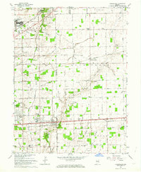
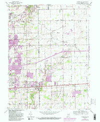
1962 Map of Cumberland
USGS Topo · Published 1976About this map
The boundary between Marion Co and Hancock Co defines the central axis of this landscape, where the expanding suburbs of Indianapolis meet the rural farmland of central Indiana. At the heart of the region, the town of Cumberland sits along the Lane National Road, positioned between the busy corridors of the New York Central Railroad and the Pennsylvania Railroad. To the northwest, the massive Fort Benjamin Harrison Mil Res and Billings VA Hospital represent a significant military presence that shaped local development during the mid-century.
Find a feature on this map
107 named features on this map. Tap any name to fly to it.
Don’t see what you’re looking for? This feature index may not catch every label — zoom into the map to look around manually.
Map Details
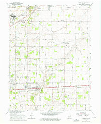
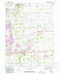
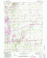
Editions of this 1962 Cumberland Map
5 editions found
Other maps of this area

1948 · Indianapolis East
USGS Topo · 1:24,000

1948 · Beech Grove
USGS Topo · 1:24,000

1952 · Cumberland
USGS Topo · 1:24,000

1952 · Greenfield
USGS Topo · 1:24,000

1952 · Fountaintown
USGS Topo · 1:24,000

1952 · Fishers
USGS Topo · 1:24,000

1952 · Ingalls
USGS Topo · 1:24,000

1952 · Mc Cordsville
USGS Topo · 1:24,000

1953 · Acton
USGS Topo · 1:24,000

1953 · Cincinnati
USGS Topo · 1:250,000