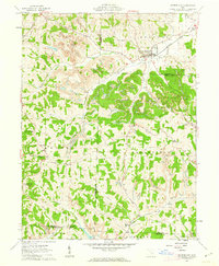
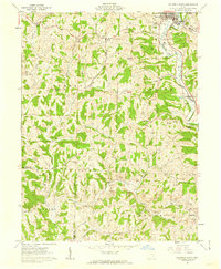
1961 Map of Cumberland
USGS Topo · Published 1963About this map
The village of Cumberland serves as the hub of this rural landscape, situated at the junction of Buffalo Fork and Collins Fork. In the early 1960s, the community was a vital point on the Baltimore and Ohio railroad, surrounded by the shifting topography of extensive Strip Mines. The map documents the complex intersection of five different counties—Muskingum, Guernsey, Noble, Morgan, and Perry—revealing a region defined by its ridge-and-valley farming and resource extraction. Smaller settlements like Renrock, Zeno, and Young Hickory anchor the surrounding townships, supported by local institutions such as Ark Springs Ch and Township Sch. Numerous family cemeteries and small churches, including Brookfield Cem and Oak Grove Ch, are scattered across the hillsides, providing a detailed record for genealogists and local historians tracing the families of the Muskingum and Noble County borderlands.
Find a feature on this map
46 named features on this map. Tap any name to fly to it.
Don’t see what you’re looking for? This feature index may not catch every label — zoom into the map to look around manually.
Map Details
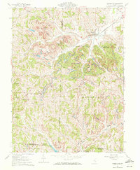
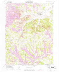
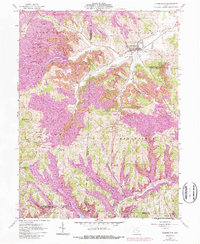
Editions of this 1961 Cumberland Map
4 editions found
Other maps of this area

1909 · Caldwell
USGS Topo · 1:62,500

1910 · Philo
USGS Topo · 1:62,500

1910 · Mc Connelsville
USGS Topo · 1:62,500

1911 · Cumberland
USGS Topo · 1:62,500

1912 · Caldwell
USGS Topo · 1:62,500

1949 · Clarksburg
USGS Topo · 1:250,000

1956 · Clarksburg
USGS Topo · 1:250,000

1961 · Clarksburg
USGS Topo · 1:250,000

1961 · Mc Connelsville
USGS Topo · 1:24,000
1961 · Caldwell South
USGS Topo · 1:24,000