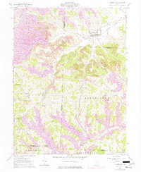
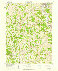
1961 Map of Cumberland
USGS Topo · Published 1977About this map
Cumberland sits at the convergence of several major drainages, including Collins Fork and Buffalo Fork, where the Baltimore and Ohio railroad followed the water gaps to serve this corner of Guernsey County. The landscape is defined by the heavy footprint of coal extraction, with extensive Strip Mines and industrial scarring marking the ridges of Rich Hill and Spencer. These mining operations create a stark contrast with the traditional rural infrastructure of the early 1960s, which is still visible in the form of numerous country churches and small educational sites.
Find a feature on this map
50 named features on this map. Tap any name to fly to it.
Don’t see what you’re looking for? This feature index may not catch every label — zoom into the map to look around manually.
Map Details
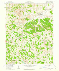
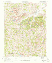
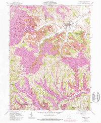
Editions of this 1961 Cumberland Map
4 editions found
Other maps of this area

1909 · Caldwell
USGS Topo · 1:62,500

1910 · Philo
USGS Topo · 1:62,500

1910 · Mc Connelsville
USGS Topo · 1:62,500

1911 · Cumberland
USGS Topo · 1:62,500

1912 · Caldwell
USGS Topo · 1:62,500

1949 · Clarksburg
USGS Topo · 1:250,000

1956 · Clarksburg
USGS Topo · 1:250,000

1961 · Clarksburg
USGS Topo · 1:250,000

1961 · Mc Connelsville
USGS Topo · 1:24,000
1961 · Caldwell South
USGS Topo · 1:24,000