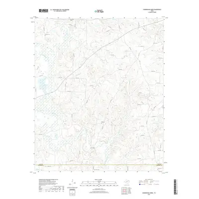
2019 Map of Cunningham Creek
USGS Topo · Published 2019About this map
The dense network of wetlands and seasonal drainages along the Black Cypress Bayou dominates this East Texas landscape. Straddling the boundary between Cass Co and Marion Co, the area is characterized by a complex system of ponds and sloughs, including Flag Pond, Pruitt Lake, and Wallace Lake. These water bodies are fed by numerous small tributaries such as Cunningham Cr, Bear Cr, and Cypress Br, creating a topography where early road development was dictated by the soft ground. Local genealogy is anchored by family-named landmarks and resting places like Henderson Cem, Bear Creek Cem, and Simmons Cem found near the rural road crossings.
Find a feature on this map
72 named features on this map. Tap any name to fly to it.
Don’t see what you’re looking for? This feature index may not catch every label — zoom into the map to look around manually.
Map Details
Editions of this 2019 Cunningham Creek Map
This is the sole edition of this map. No revisions or reprints were ever made.
Other maps of this area

1910 · Linden
USGS Topo · 1:62,500

1914 · Daingerfield
USGS Topo · 1:62,500

1953 · Texarkana
USGS Topo · 1:250,000

1956 · Texarkana
USGS Topo · 1:250,000

1956 · Tyler
USGS Topo · 1:250,000

1961 · Cunningham Creek
USGS Topo · 1:24,000

1961 · Lassater
USGS Topo · 1:24,000

1962 · Kellyville
USGS Topo · 1:24,000

1962 · Lanier
USGS Topo · 1:24,000

1962 · Jefferson
USGS Topo · 1:24,000