1967 Map of Currie
USGS Topo · Published 1991About this map
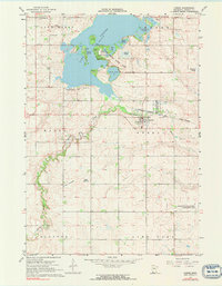
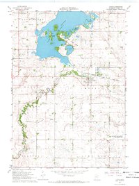
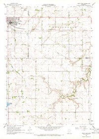
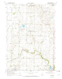
The Currie village center serves as a focal point near the headwaters of the Des Moines River, situated just south of the expansive waters of Lake Shetek. This 1960s landscape is defined by its recreation and conservation areas, notably Lake Shetek State Park, which encompasses island features like Loon Island and Keeley Island. The map records a rural infrastructure of local governance and community life, evidenced by a Townhall to the northeast and the Bethany Cem near Lake Sarah. Transport and industry are represented by the Chicago and North Western railroad line passing through the heart of the region. Distinctive environmental management is visible through the Fish Hatchery and designated grounds like the Rupp State Wildlife Management Area, reflecting the area's importance for both local transit and natural resource preservation.
Find a feature on this map
32 named features on this map. Tap any name to fly to it.
Don’t see what you’re looking for? This feature index may not catch every label — zoom into the map to look around manually.
Map Details
Editions of this 1967 Currie Map
2 editions found
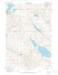
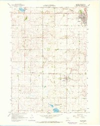
Other maps of this area

1953 · New Ulm
USGS Topo · 1:250,000

1954 · Fairmont
USGS Topo · 1:250,000

1957 · New Ulm
USGS Topo · 1:250,000

1958 · New Ulm
USGS Topo · 1:250,000

1958 · Fairmont
USGS Topo · 1:250,000

1967 · New Ulm
USGS Topo · 1:250,000
1967 · Balaton
USGS Topo · 1:24,000
1967 · Slayton
USGS Topo · 1:24,000
1967 · Tracy East
USGS Topo · 1:24,000
1967 · Hadley
USGS Topo · 1:24,000