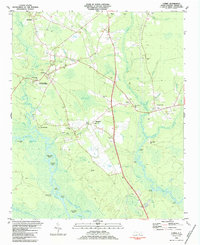
1983 Map of Currie
USGS Topo · Published 1984About this map
Moores Creek Nat Battlefield anchors this coastal plain landscape, preserving the site of a pivotal early American Revolutionary War engagement north of Wilmington. The terrain is defined by its intricate hydrology and the distinctive elliptical depressions of the Carolina Bays, such as Currie of the Railroad Bay and Horsepen Bay. These features shape the local settlement patterns, with communities like Currie, Montague, and Yamacraw positioned on higher ground near the serpentine curves of the Black River and Long Creek. Genealogists will find a high density of family burial grounds including Wilton Cem, Brinson Cem, and Chadwick Cem. The map illustrates a rural society organized around local institutions, notably the Long Creek Grady Sch and several country churches like Myrtle Grove Ch and St John Ch, reflecting the 1980s character of Pender County.
Find a feature on this map
75 named features on this map. Tap any name to fly to it.
Don’t see what you’re looking for? This feature index may not catch every label — zoom into the map to look around manually.
Map Details
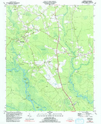
Editions of this 1983 Currie Map
2 editions found
Other maps of this area

1942 · Burgaw
USGS Topo · 1:62,500

1947 · Rocky Point
USGS Topo · 1:62,500

1953 · Florence
USGS Topo · 1:250,000

1953 · Beaufort
USGS Topo · 1:250,000

1954 · Florence
USGS Topo · 1:250,000

1954 · Beaufort
USGS Topo · 1:250,000

1954 · Acme
USGS Topo · 1:62,500

1955 · Atkinson
USGS Topo · 1:62,500
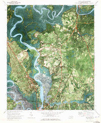
1970 · Castle Hayne
USGS Topo · 1:24,000
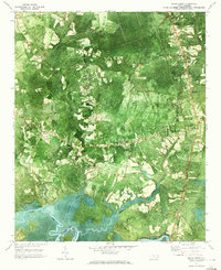
1970 · Rocky Point
USGS Topo · 1:24,000