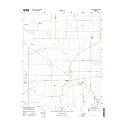
2015 Map of Curtis Station
USGS Topo · Published 2015About this map
Curtis Station and Bobo anchor this landscape along the border of Quitman and Panola counties in the Mississippi Delta. The terrain is defined by a complex network of natural and engineered waterways, including the winding course of the Old Little Tallahatchie River and the Coldwater River at the southwestern corner. These rivers are supplemented by several bayous, such as Ash Log Bayou and Sand Bayou, alongside modern drainage features like the Quitman Panola Ditch. The agricultural character of the region is evident in the dense grid of local roads named for local families and landmarks, such as Homer Massey Rd and Joe Reid Rd. Small settlements like Locke Station and Riverview serve as local hubs, connected by routes that reflect the area's long-standing reliance on its water and rail systems for transport and trade.
Find a feature on this map
63 named features on this map. Tap any name to fly to it.
Don’t see what you’re looking for? This feature index may not catch every label — zoom into the map to look around manually.
Map Details
Editions of this 2015 Curtis Station Map
This is the sole edition of this map. No revisions or reprints were ever made.
Other maps of this area

1932 · Sledge
USGS Topo · 1:48,000

1932 · Tutwiler
USGS Topo · 1:48,000

1932 · Marks
USGS Topo · 1:48,000

1935 · Crowder
USGS Topo · 1:62,500

1935 · Marks
USGS Topo · 1:62,500

1935 · Tutwiler
USGS Topo · 1:62,500

1935 · Sledge
USGS Topo · 1:62,500

1939 · Sledge
USGS Topo · 1:62,500

1939 · Crowder
USGS Topo · 1:62,500

1939 · Tutwiler
USGS Topo · 1:62,500