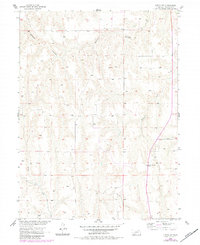
1956 Map of Curtis SW
USGS Topo · Published 1983About this map
The Missouri River Basin development program shaped the mapping of this section of Frontier County during the mid-1950s. The landscape is defined by the sharp dissection of the Nebraska plains, where deep drainage systems like Elkhorn Canyon and Frazier Creek cut through the upland topography. These drainages reveal a pattern of land use centered on the seasonal water flow and the relative isolation of the high plateaus between the draws.
Find a feature on this map
4 named features on this map. Tap any name to fly to it.
Don’t see what you’re looking for? This feature index may not catch every label — zoom into the map to look around manually.
Map Details
Editions of this 1956 Curtis SW Map
2 editions found
Other maps of this area

1954 · McCook
USGS Topo · 1:250,000

1956 · White NE
USGS Topo · 1:24,000

1956 · Curtis SW
USGS Topo · 1:24,000

1956 · Curtis NW
USGS Topo · 1:24,000

1956 · Quick NE
USGS Topo · 1:24,000

1956 · Curtis
USGS Topo · 1:24,000

1956 · Curtis SE
USGS Topo · 1:24,000

1957 · McCook
USGS Topo · 1:250,000

1958 · McCook
USGS Topo · 1:250,000

1970 · Quick
USGS Topo · 1:24,000