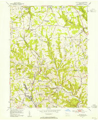
1953 Map of Curtisville
USGS Topo · Published 1955About this map
The coal and clay mining landscape of northern Allegheny and southern Butler counties is frozen in time during the mid-1950s. The Bessemer and Lake Erie railroad corridor anchors the western half of the map, serving as a vital industrial artery through communities like Curtisville and Culmerville. While larger towns appear established, the presence of numerous Strip Mines and local coal infrastructure such as Mine No 1 and Mine No 2 reveals an environment in flux, where traditional farming in townships like Clinton and Buffalo coexists with heavy extractive industry.
Find a feature on this map
59 named features on this map. Tap any name to fly to it.
Don’t see what you’re looking for? This feature index may not catch every label — zoom into the map to look around manually.
Map Details
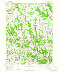
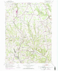
Editions of this 1953 Curtisville Map
Other maps of this area

1900 · Kittanning
USGS Topo · 1:62,500

1902 · Kittanning
USGS Topo · 1:62,500

1907 · Freeport
USGS Topo · 1:62,500

1908 · New Kensington
USGS Topo · 1:62,500

1909 · Freeport
USGS Topo · 1:62,500

1909 · Butler
USGS Topo · 1:62,500

1910 · New Kensington
USGS Topo · 1:62,500

1911 · Butler
USGS Topo · 1:62,500

1950 · Valencia
USGS Topo · 1:24,000

1953 · Pittsburgh
USGS Topo · 1:250,000
Featured Places
- Clinton Township, PA
- Red Hot, West Deer Township
- Buffalo Township, PA
- Winfield Township, PA
- Jefferson Township, PA