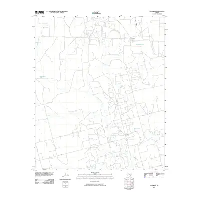
2010 Map of Cuthbert
USGS Topo · Published 2010About this map
Cuthbert serves as the central anchor for this Mitchell County landscape, where the semi-arid West Texas environment is defined by a network of drainage creeks and livestock tanks. Water management is a primary feature of the area, as seen in the various stock ponds such as Bert Tank, Bozeman Tank, and the uniquely named Bombsight Tank. The terrain transitions from the Red Hills down into the Cedar Valley, carved out by the winding paths of Hasting Creek and Graze Creek.
Find a feature on this map
30 named features on this map. Tap any name to fly to it.
Don’t see what you’re looking for? This feature index may not catch every label — zoom into the map to look around manually.
Map Details
Editions of this 2010 Cuthbert Map
This is the sole edition of this map. No revisions or reprints were ever made.
Other maps of this area

1950 · Cedar Bend
USGS Topo · 1:24,000

1950 · Lake Colorado City
USGS Topo · 1:24,000

1951 · Ira SW
USGS Topo · 1:24,000

1951 · Ira
USGS Topo · 1:24,000

1951 · Dunn
USGS Topo · 1:24,000

1951 · Vincent
USGS Topo · 1:24,000

1951 · Iatan
USGS Topo · 1:24,000

1952 · Iatan
USGS Topo · 1:24,000

1952 · Cuthbert
USGS Topo · 1:24,000

1952 · Westbrook
USGS Topo · 1:24,000