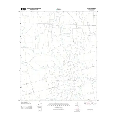
2012 Map of Cuthbert
USGS Topo · Published 2012About this map
Cuthbert serves as the central focal point of this Mitchell County landscape, situated at the intersection of Co Hwy-220 and Ranch Road 1229. The area is defined by a sparse network of county roads and ranch routes that navigate the watersheds of Morgan Cr and Graze Cr. The terrain is punctuated by the Red Hills and several isolated water sources critical to this semi-arid environment, including Bert Tank and Bozeman Tank. To the south, Butler Camp and Butler Lake sit near the winding course of Hasting Cr. The map captures a contemporary look at the ranching infrastructure and local hydrography, showing how livestock tanks and creek branches like N Br Hasting Cr continue to shape the distribution of activity in this part of Texas.
Find a feature on this map
34 named features on this map. Tap any name to fly to it.
Don’t see what you’re looking for? This feature index may not catch every label — zoom into the map to look around manually.
Map Details
Editions of this 2012 Cuthbert Map
This is the sole edition of this map. No revisions or reprints were ever made.
Other maps of this area

1950 · Cedar Bend
USGS Topo · 1:24,000

1950 · Lake Colorado City
USGS Topo · 1:24,000

1951 · Ira SW
USGS Topo · 1:24,000

1951 · Ira
USGS Topo · 1:24,000

1951 · Dunn
USGS Topo · 1:24,000

1951 · Vincent
USGS Topo · 1:24,000

1951 · Iatan
USGS Topo · 1:24,000

1952 · Iatan
USGS Topo · 1:24,000

1952 · Cuthbert
USGS Topo · 1:24,000

1952 · Westbrook
USGS Topo · 1:24,000