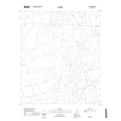
2019 Map of Cuthbert
USGS Topo · Published 2019About this map
Red Hills dominates the topography of this Mitchell County landscape, where an intricate network of drainage systems defines the rural character of the region. The map captures the convergence of several waterways, most notably Hasting Cr and its northern branch, N Br Hasting Cr, alongside Graze Cr and Morgan Cr. This area is marked by numerous water storage tanks, such as Bert Tank, Bozeman Tank, and the uniquely named Bombsight Tank, which reveal the importance of managed water resources in this part of Texas.
Find a feature on this map
28 named features on this map. Tap any name to fly to it.
Don’t see what you’re looking for? This feature index may not catch every label — zoom into the map to look around manually.
Map Details
Editions of this 2019 Cuthbert Map
This is the sole edition of this map. No revisions or reprints were ever made.
Other maps of this area

1950 · Cedar Bend
USGS Topo · 1:24,000

1950 · Lake Colorado City
USGS Topo · 1:24,000

1951 · Ira SW
USGS Topo · 1:24,000

1951 · Ira
USGS Topo · 1:24,000

1951 · Dunn
USGS Topo · 1:24,000

1951 · Vincent
USGS Topo · 1:24,000

1951 · Iatan
USGS Topo · 1:24,000

1952 · Iatan
USGS Topo · 1:24,000

1952 · Cuthbert
USGS Topo · 1:24,000

1952 · Westbrook
USGS Topo · 1:24,000