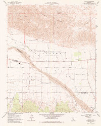
1964 Map of Cuyama
USGS Topo · Published 1975About this map
The Cuyama Valley defines this mid-century landscape, positioned along the complex county line between San Luis Obispo and Santa Barbara counties. At the heart of the settlement is the town of Cuyama, where a substation and local infrastructure support the surrounding agricultural and industrial operations. The map highlights a significant land interest held by the Heirs of Cesario Lataillade, reflecting the area's deep history of Spanish and Mexican land grants. To the north, the arid slopes of the Caliente Range are dissected by Quail Canyon and Willow Spring, while the southern reaches are dominated by canyons like Goode Canyon and Castro Canyon. The Cuyama River and The Wash provide the primary drainage for this high-desert basin, with a network of rural routes including Kirchenmann Road and Foothill Road connecting the valley's distributed wells and storage facilities.
Find a feature on this map
24 named features on this map. Tap any name to fly to it.
Don’t see what you’re looking for? This feature index may not catch every label — zoom into the map to look around manually.
Map Details
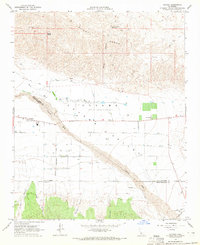
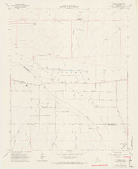
Editions of this 1964 Cuyama Map
3 editions found
Other maps of this area

1902 · Santa Ynez
USGS Topo · 1:125,000

1903 · Mt. Pinos
USGS Topo · 1:125,000

1905 · Santa Ynez
USGS Topo · 1:125,000

1910 · Buena Vista Lake
USGS Topo · 1:125,000

1912 · McKittrick
USGS Topo · 1:125,000

1912 · Buena Vista Lake
USGS Topo · 1:125,000

1942 · Ballinger Canyon
USGS Topo · 1:24,000

1942 · East of Cuyama Ranch
USGS Topo · 1:24,000

1943 · Maricopa
USGS Topo · 1:31,680

1943 · Cuyama Ranch
USGS Topo · 1:31,680