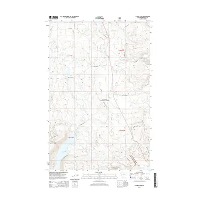
2014 Map of Cygnet Lake
USGS Topo · Published 2014About this map
Swan River flows through a landscape defined by high-altitude lakes and forest management boundaries in this 2014 study of the Swan Valley. The map captures the intersection of the Flathead National Forest and the Lolo National Forest, where established recreation sites like Lindbergh Lake and Cygnet Lake serve as focal points for local geography. Notable landmarks include the Elbow Lookout Tower, which provides a vantage over a network of forest roads such as Kraft Creek Rd and Lindbergh Lake Rd. The presence of smaller water bodies like Stoner Lake, Loon Lake, and Pierce Lake indicates a glaciated terrain with significant hydrological detail. This survey documents the modern infrastructure of the region, including the residential clusters along Swanland Dr and the logging and access routes that permeate the surrounding wilderness.
Find a feature on this map
36 named features on this map. Tap any name to fly to it.
Don’t see what you’re looking for? This feature index may not catch every label — zoom into the map to look around manually.
Map Details
Editions of this 2014 Cygnet Lake Map
This is the sole edition of this map. No revisions or reprints were ever made.
Other maps of this area

1921 · Elbow Lake
USGS Topo · 1:125,000

1955 · Choteau
USGS Topo · 1:250,000

1957 · Choteau
USGS Topo · 1:250,000

1958 · Choteau
USGS Topo · 1:250,000

1962 · Choteau
USGS Topo · 1:250,000

1965 · Peck Lake
USGS Topo · 1:24,000

1965 · Condon
USGS Topo · 1:24,000

1965 · Holland Lake
USGS Topo · 1:24,000

1965 · Gray Wolf Lake
USGS Topo · 1:24,000

1965 · Lake Marshall
USGS Topo · 1:24,000