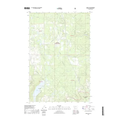
2020 Map of Cygnet Lake
USGS Topo · Published 2020About this map
Lindbergh Lake and Cygnet Lake anchor this 2020 landscape in Missoula County, where the southern boundary of the Flathead National Forest meets the northern edge of the Lolo National Forest. The geography is defined by the sharp rise of the Mission Range to the west, casting its shadow over a complex network of glacial features and waterways including Glacier Slough and the winding Swan River.
Find a feature on this map
38 named features on this map. Tap any name to fly to it.
Don’t see what you’re looking for? This feature index may not catch every label — zoom into the map to look around manually.
Map Details
Editions of this 2020 Cygnet Lake Map
This is the sole edition of this map. No revisions or reprints were ever made.
Other maps of this area

1921 · Elbow Lake
USGS Topo · 1:125,000

1955 · Choteau
USGS Topo · 1:250,000

1957 · Choteau
USGS Topo · 1:250,000

1958 · Choteau
USGS Topo · 1:250,000

1962 · Choteau
USGS Topo · 1:250,000

1965 · Peck Lake
USGS Topo · 1:24,000

1965 · Condon
USGS Topo · 1:24,000

1965 · Holland Lake
USGS Topo · 1:24,000

1965 · Gray Wolf Lake
USGS Topo · 1:24,000

1965 · Lake Marshall
USGS Topo · 1:24,000