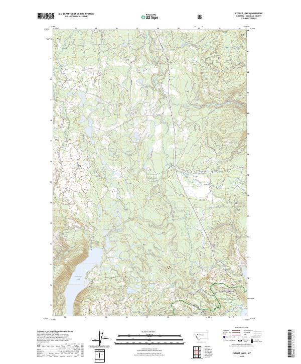
2024 Map of Cygnet Lake
USGS Topo · Published 2024About this map
Lindbergh Lake and the Mission Range anchor this portion of the Montana wilderness, where high-elevation glacial lakes feed a complex drainage system into the Swan River. The map reveals a landscape defined by its protected status, split between the Flathead National Forest and Lolo National Forest. This division is mirrored in the local road network, where Forest Service routes like Kraft Creek Rd and Lindbergh Lake Rd provide the primary access to these remote waters.
Find a feature on this map
39 named features on this map. Tap any name to fly to it.
Don’t see what you’re looking for? This feature index may not catch every label — zoom into the map to look around manually.
Map Details
Editions of this 2024 Cygnet Lake Map
This is the sole edition of this map. No revisions or reprints were ever made.
Other maps of this area

1921 · Elbow Lake
USGS Topo · 1:125,000

1955 · Choteau
USGS Topo · 1:250,000

1957 · Choteau
USGS Topo · 1:250,000

1958 · Choteau
USGS Topo · 1:250,000

1962 · Choteau
USGS Topo · 1:250,000

1965 · Peck Lake
USGS Topo · 1:24,000

1965 · Condon
USGS Topo · 1:24,000

1965 · Holland Lake
USGS Topo · 1:24,000

1965 · Gray Wolf Lake
USGS Topo · 1:24,000

1965 · Lake Marshall
USGS Topo · 1:24,000