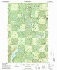
1994 Map of Cygnet Lake
USGS Topo · Published 1996About this map
Flathead National Forest defines the geography of this mid-1990s survey, showing a landscape of glacial lakes and river bottomlands. The Swan River meanders through the central corridor, flanked by the Fourth Guide Meridian West. Local educational and ranching history is anchored by the Swan Valley Sch and family holdings such as Huffman Ranch and Gordon Ranch.
Find a feature on this map
27 named features on this map. Tap any name to fly to it.
Don’t see what you’re looking for? This feature index may not catch every label — zoom into the map to look around manually.
Map Details
Editions of this 1994 Cygnet Lake Map
This is the sole edition of this map. No revisions or reprints were ever made.
Other maps of this area

1921 · Elbow Lake
USGS Topo · 1:125,000

1955 · Choteau
USGS Topo · 1:250,000

1957 · Choteau
USGS Topo · 1:250,000

1958 · Choteau
USGS Topo · 1:250,000

1962 · Choteau
USGS Topo · 1:250,000

1965 · Peck Lake
USGS Topo · 1:24,000

1965 · Condon
USGS Topo · 1:24,000

1965 · Holland Lake
USGS Topo · 1:24,000

1965 · Gray Wolf Lake
USGS Topo · 1:24,000

1965 · Lake Marshall
USGS Topo · 1:24,000