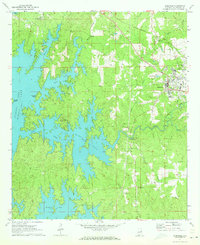
1971 Map of Dadeville
USGS Topo · Published 1973About this map
The expansive waters of Martin Lake dominate the western half of this Tallapoosa County landscape, where the dendritic shoreline of the reservoir creates numerous inlets and peninsulas. The terrain is characterized by prominent landmarks like Smith Mountain and Youngs Island, which rose above the surrounding valleys when the area was flooded. Settlement is concentrated to the east in Dadeville and North Dadeville, where the Central of Georgia railroad line cuts through the countryside, supporting the local economy in the early 1970s.
Find a feature on this map
31 named features on this map. Tap any name to fly to it.
Don’t see what you’re looking for? This feature index may not catch every label — zoom into the map to look around manually.
Map Details
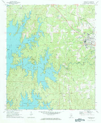
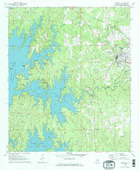
Editions of this 1971 Dadeville Map
3 editions found
Other maps of this area

1906 · Dadeville
USGS Topo · 1:125,000

1955 · Phenix City
USGS Topo · 1:250,000

1957 · Phenix City
USGS Topo · 1:250,000

1958 · Phenix City
USGS Topo · 1:250,000

1971 · Ponders
USGS Topo · 1:24,000
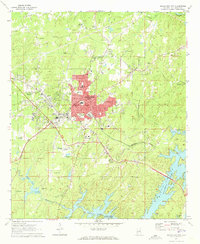
1971 · Alexander City
USGS Topo · 1:24,000
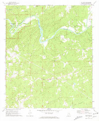
1971 · Buttston
USGS Topo · 1:24,000
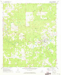
1971 · Camp Hill
USGS Topo · 1:24,000

1971 · Thornton
USGS Topo · 1:24,000
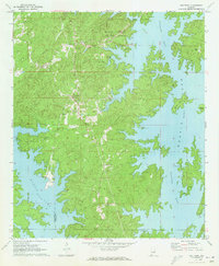
1971 · Our Town
USGS Topo · 1:24,000