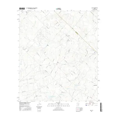
2016 Map of Dale
USGS Topo · Published 2016About this map
The community of Dale and the surrounding Caldwell County countryside are defined by a complex network of small cemeteries and winding watercourses. Genealogists will find a wealth of local history through family and community burial grounds, including the Lytton Springs Cem in the northwest, the Saint John Cem, and the Kelly Cem further south. The landscape is deeply carved by drainage systems, with Walnut Cr and its tributaries like Haggai Cr and Brushy Cr shaping the local topography. Further south, the map details agricultural infrastructure such as the Soil Conservation Service Site 24 Reservoir near the settlement of Taylorsville. This modern survey illustrates how long-established landmarks like Pool Hollow and the Bunton Cem persist alongside the evolving rural road network of central Texas.
Find a feature on this map
95 named features on this map. Tap any name to fly to it.
Don’t see what you’re looking for? This feature index may not catch every label — zoom into the map to look around manually.
Map Details
Editions of this 2016 Dale Map
This is the sole edition of this map. No revisions or reprints were ever made.
Other maps of this area

1885 · Bastrop
USGS Topo · 1:125,000

1893 · Bastrop
USGS Topo · 1:125,000

1896 · Austin
USGS Topo · 1:125,000

1897 · Austin
USGS Topo · 1:125,000

1901 · Flatonia
USGS Topo · 1:125,000

1904 · Bastrop
USGS Topo · 1:125,000

1910 · Austin
USGS Topo · 1:125,000

1911 · San Marcos
USGS Topo · 1:125,000

1919 · San Marcos
USGS Topo · 1:125,000

1925 · San Marcos 1-d
USGS Topo · 1:48,000