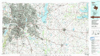
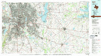
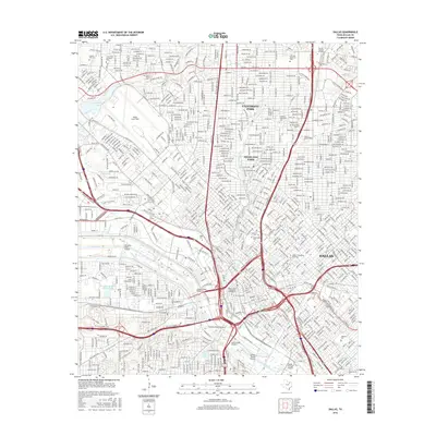
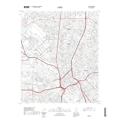
1986 Map of Dallas
USGS Topo · Published 1991About this map
The Trinity River and its massive engineering works, including the Dallas Floodway, anchor this mid-1980s landscape of the North Texas metropolitan corridor. The urban expansion of Dallas, Garland, and Richardson is captured at a moment of significant suburban infill, while large-scale water management projects like Lake Ray Hubbard and Lake Tawakoni define the eastern reach into Kaufman and Hunt Counties. The map reveals the critical infrastructure of the era, from major aviation hubs like Addison Airport to the industrial and transportation corridors established by the Mkt Rr and T&P Ry. Beyond the city limits, smaller settlements such as Pleasant Valley, Boles Home, and Royse City maintain their distinct identities before further regional consolidation. The presence of the Seagoville Fed Correctional Inst and various municipal airfields highlights the diverse land use at the urban-rural fringe.
Find a feature on this map
122 named features on this map. Tap any name to fly to it.
Don’t see what you’re looking for? This feature index may not catch every label — zoom into the map to look around manually.
Map Details
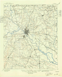
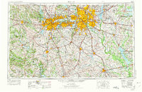
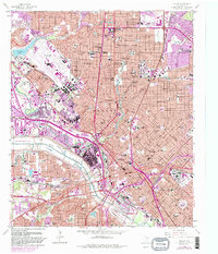
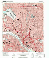
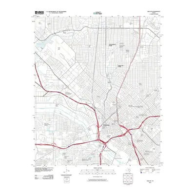
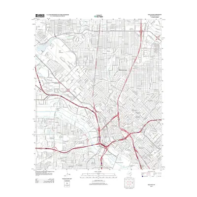
Editions of this 1986 Dallas Map
3 editions found

Historical Maps of Dallas Through Time
12 maps found

1891 Dallas
Dallas County, TX
1893 Dallas
Dallas County, TX
1954 Dallas
Dallas County, TX
1958 Dallas
Dallas County, TX

1958 Dallas
Dallas County, TX
1986 Dallas
Dallas County, TX
1995 Dallas
Dallas County, TX
2010 Dallas
Dallas County, TX
2012 Dallas
Dallas County, TX
2016 Dallas
Dallas County, TX
2019 Dallas
Dallas County, TX
2022 Dallas
Dallas County, TX