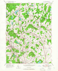
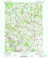
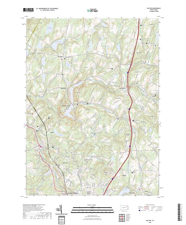
1946 Map of Dalton
USGS Topo · Published 1966About this map
The Delaware Lackawanna and Western railroad corridor anchors this mid-century survey of Lackawanna County, tracing a path through the borough of Dalton and past the La Plume Sta. The landscape is defined by a dense network of small dairy-era settlements like Fleetville, Wallsville, and Smith Corners, alongside numerous family burial grounds including Decker Cem and Miller Cem. Institutional landmarks of the era are prominent, notably the House of the Good Shepherd and the Blakely Home. To the north, the terrain rises toward several named heights like Bushko Hill and Newton Hill, interspersed with natural and man-made waters such as Lake Kewanee and the Griffin Reservoir. The presence of the Ackerly Fairgrounds and Kamp Kewanee suggests a region balancing agricultural tradition with growing recreational and institutional use.
Find a feature on this map
76 named features on this map. Tap any name to fly to it.
Don’t see what you’re looking for? This feature index may not catch every label — zoom into the map to look around manually.
Map Details
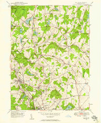
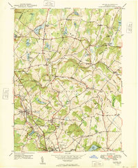
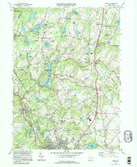
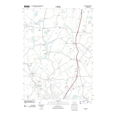
Editions of this 1946 Dalton Map
5 editions found
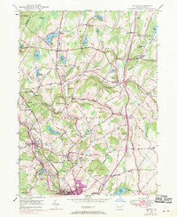
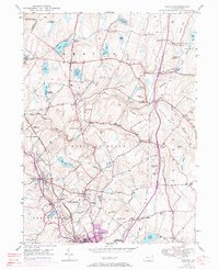
Historical Maps of Scott Township Through Time
8 maps found
Featured Locations
- Dalton, PA
- La Plume Township, PA
- Scott Township, PA
- Glenburn Township, PA
- Carpenter Town, Benton Township