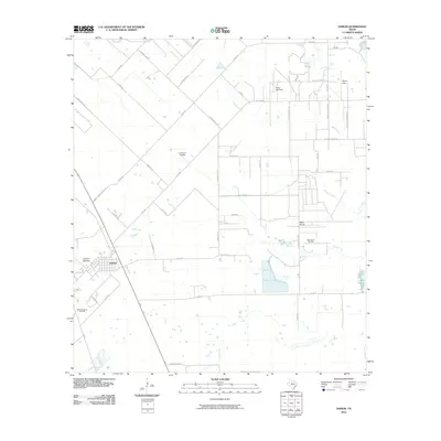
2010 Map of Damon
USGS Topo · Published 2010About this map
The town of Damon sits at the southwestern edge of a landscape defined by significant geological salt domes and the petroleum industry that grew around them. This 2010 survey highlights the unique topography of Damon Mound and Nash Dome, features that disrupted the coastal prairie and provided fertile ground for the Damon Mound Oil Field and Nash Dome Oil Field. These elevated structures are prominent landmarks in an otherwise flat region, where land use is divided between energy extraction and agricultural operations.
Find a feature on this map
47 named features on this map. Tap any name to fly to it.
Don’t see what you’re looking for? This feature index may not catch every label — zoom into the map to look around manually.
Map Details
Editions of this 2010 Damon Map
This is the sole edition of this map. No revisions or reprints were ever made.
Other maps of this area

1950 · Houston
USGS Topo · 1:250,000

1952 · West Columbia
USGS Topo · 1:24,000

1952 · Danciger
USGS Topo · 1:24,000

1952 · East Columbia
USGS Topo · 1:24,000

1953 · Needville
USGS Topo · 1:24,000

1953 · Guy
USGS Topo · 1:24,000

1953 · Lake George
USGS Topo · 1:24,000

1953 · Damon
USGS Topo · 1:24,000

1953 · Otey
USGS Topo · 1:24,000

1953 · Thompsons
USGS Topo · 1:24,000