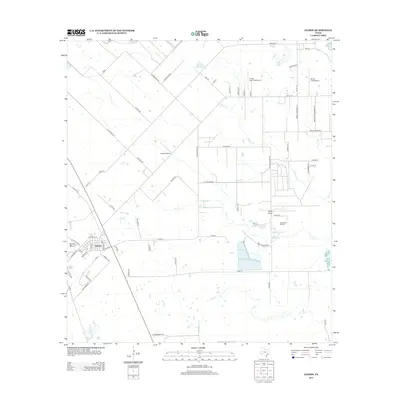
2013 Map of Damon
USGS Topo · Published 2013About this map
Damon Mound rises as a prominent topographical feature in this corner of Brazoria County, anchoring the small settlement of Damon. This 2013 survey illustrates the area's complex relationship between salt dome geology and local industry, specifically at Nash Dome and the associated Nash Dome Oil Field. The landscape is a mix of agricultural tracts and industrial infrastructure, defined by a network of drainage ways including Cow Creek, Turkey Creek, and Bee Creek.
Find a feature on this map
71 named features on this map. Tap any name to fly to it.
Don’t see what you’re looking for? This feature index may not catch every label — zoom into the map to look around manually.
Map Details
Editions of this 2013 Damon Map
This is the sole edition of this map. No revisions or reprints were ever made.
Other maps of this area

1950 · Houston
USGS Topo · 1:250,000

1952 · West Columbia
USGS Topo · 1:24,000

1952 · Danciger
USGS Topo · 1:24,000

1952 · East Columbia
USGS Topo · 1:24,000

1953 · Needville
USGS Topo · 1:24,000

1953 · Guy
USGS Topo · 1:24,000

1953 · Lake George
USGS Topo · 1:24,000

1953 · Damon
USGS Topo · 1:24,000

1953 · Otey
USGS Topo · 1:24,000

1953 · Thompsons
USGS Topo · 1:24,000