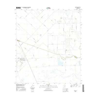
2016 Map of Damon
USGS Topo · Published 2016About this map
The salt dome landscape of coastal Texas is clearly visible in the terrain of Damon Mound and Nash Dome, which rise above the surrounding flatlands on the border of Fort Bend and Brazoria Counties. The settlement of Damon is the primary community, situated on the western flank of the mound. This area is characterized by a mix of agricultural tracts and specialized aviation facilities, including H & S Airfield, Prairie Aire Field, and Meyer Field, reflecting the region's open topography and long-standing utility for private flight. Drainage for the territory is managed by slow-moving coastal streams such as Turkey Cr, Bee Cr, and Cow Cr, which meander through a grid of rural roads like FM 1462 RD and Brumbelow Rd.
Find a feature on this map
66 named features on this map. Tap any name to fly to it.
Don’t see what you’re looking for? This feature index may not catch every label — zoom into the map to look around manually.
Map Details
Editions of this 2016 Damon Map
This is the sole edition of this map. No revisions or reprints were ever made.
Other maps of this area

1950 · Houston
USGS Topo · 1:250,000

1952 · West Columbia
USGS Topo · 1:24,000

1952 · Danciger
USGS Topo · 1:24,000

1952 · East Columbia
USGS Topo · 1:24,000

1953 · Needville
USGS Topo · 1:24,000

1953 · Guy
USGS Topo · 1:24,000

1953 · Lake George
USGS Topo · 1:24,000

1953 · Damon
USGS Topo · 1:24,000

1953 · Otey
USGS Topo · 1:24,000

1953 · Thompsons
USGS Topo · 1:24,000