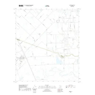
2019 Map of Damon
USGS Topo · Published 2019About this map
Damon Mound and Nash Dome dominate the topography of this Gulf Coast landscape, marking the subterranean salt domes that historically drove the local extractive economy. The settlement of Damon sits at the base of its namesake mound, where a dense grid of streets including Stockwell St, Mulcahy Ave, and Deckert St suggests a concentrated residential center. Beyond the town, the land transitions into an expansive agricultural and aviation-focused corridor. Multiple private landing strips, such as Prairie Aire Field, Meyer Field, and H & S Airfield, are interspersed among large tracts of land and winding watercourses like Cow Creek. The boundary between Fort Bend and Brazoria counties zigzags across the northern half of the quadrangle, following property lines and local roads like the Damon-Ft Bend Co Rd.
Find a feature on this map
64 named features on this map. Tap any name to fly to it.
Don’t see what you’re looking for? This feature index may not catch every label — zoom into the map to look around manually.
Map Details
Editions of this 2019 Damon Map
This is the sole edition of this map. No revisions or reprints were ever made.
Other maps of this area

1950 · Houston
USGS Topo · 1:250,000

1952 · West Columbia
USGS Topo · 1:24,000

1952 · Danciger
USGS Topo · 1:24,000

1952 · East Columbia
USGS Topo · 1:24,000

1953 · Needville
USGS Topo · 1:24,000

1953 · Guy
USGS Topo · 1:24,000

1953 · Lake George
USGS Topo · 1:24,000

1953 · Damon
USGS Topo · 1:24,000

1953 · Otey
USGS Topo · 1:24,000

1953 · Thompsons
USGS Topo · 1:24,000