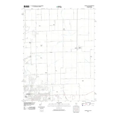
2010 Map of Danville NE
USGS Topo · Published 2010About this map
Danville and its northeastern suburbs anchor this landscape at the intersection of industry and rural heritage. The southern half of the map is defined by the residential expansion of Beeler Terrace and Walz, situated near the solemn grounds of the Danville National Cemetery. Moving north, the terrain transitions into a grid of agricultural land and scattered smaller settlements like Newell and West Newell.
Find a feature on this map
69 named features on this map. Tap any name to fly to it.
Don’t see what you’re looking for? This feature index may not catch every label — zoom into the map to look around manually.
Map Details
Editions of this 2010 Danville NE Map
This is the sole edition of this map. No revisions or reprints were ever made.
Other maps of this area

1899 · Danville
USGS Topo · 1:62,500

1900 · Danville
USGS Topo · 1:62,500

1933 · Hoopeston
USGS Topo · 1:48,000

1938 · Hoopeston
USGS Topo · 1:62,500

1948 · Danville NW
USGS Topo · 1:24,000

1949 · Danville SW
USGS Topo · 1:24,000

1950 · Danville SW
USGS Topo · 1:24,000

1950 · Danville NW
USGS Topo · 1:24,000

1950 · Danville SE
USGS Topo · 1:24,000

1950 · Danville NE
USGS Topo · 1:24,000