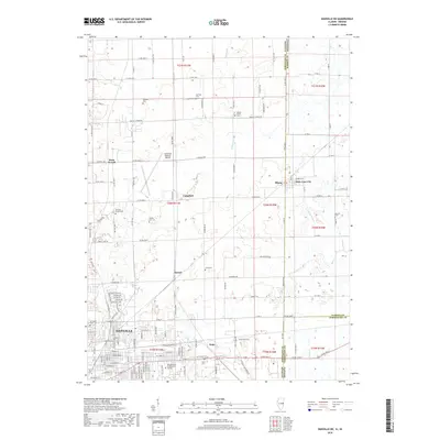
2018 Map of Danville NE
USGS Topo · Published 2018About this map
Danville serves as the focal point of this Illinois-Indiana border study, where the urban grid of the city meets the expansive agricultural townships of the east. The map captures the significant educational footprint of the Danville Area Community College and a cluster of rail-adjacent settlements including Walz, Newell, and Campbell. The landscape is notably defined by its many rural burial grounds, such as Lynch Cem, Lamb Cem, and Farmers Chapel Cem, which offer significant value for genealogical research in Vermilion County and neighboring Warren County, Indiana.
Find a feature on this map
58 named features on this map. Tap any name to fly to it.
Don’t see what you’re looking for? This feature index may not catch every label — zoom into the map to look around manually.
Map Details
Editions of this 2018 Danville NE Map
This is the sole edition of this map. No revisions or reprints were ever made.
Other maps of this area

1899 · Danville
USGS Topo · 1:62,500

1900 · Danville
USGS Topo · 1:62,500

1933 · Hoopeston
USGS Topo · 1:48,000

1938 · Hoopeston
USGS Topo · 1:62,500

1948 · Danville NW
USGS Topo · 1:24,000

1949 · Danville SW
USGS Topo · 1:24,000

1950 · Danville SW
USGS Topo · 1:24,000

1950 · Danville NW
USGS Topo · 1:24,000

1950 · Danville SE
USGS Topo · 1:24,000

1950 · Danville NE
USGS Topo · 1:24,000