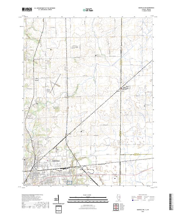
2024 Map of Danville NE
USGS Topo · Published 2024About this map
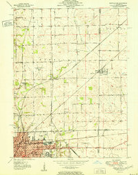
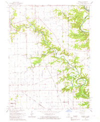
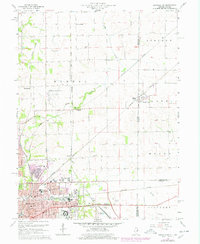
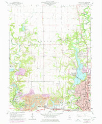
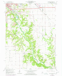
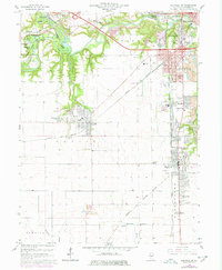
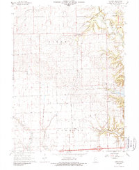
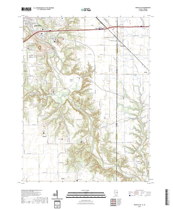
Danville serves as the focal point for this 2024 landscape, where the urban grid meets the agricultural reaches of eastern Illinois. The town's institutional footprint is substantial, featuring the Danville Area Community College and the expansive grounds of the Danville National Cemetery. Moving east, the landscape transitions toward the Indiana border, marked by the aptly named border settlements of Illiana and State Line City. This boundary area is defined by a dense network of county roads like Walnut Corner Rd and W Newell Rd that weave through a terrain drained by Stoney Creek and North Fork Spring Creek.
Find a feature on this map
74 named features on this map. Tap any name to fly to it.
Don’t see what you’re looking for? This feature index may not catch every label — zoom into the map to look around manually.
Map Details
Editions of this 2024 Danville NE Map
This is the sole edition of this map. No revisions or reprints were ever made.
Historical Maps of Illiana Through Time
21 maps found
1948 Danville NW
Vermilion County, IL
1949 Danville SW
Vermilion County, IL
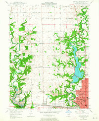
1950 Danville NE
Vermilion County, IL
1950 Danville NW
Vermilion County, IL
1950 Danville SE
Vermilion County, IL
1950 Danville SW
Vermilion County, IL
1951 Danville NE
Vermilion County, IL
1951 Danville SE
Vermilion County, IL
1955 Humrick
Vermilion County, IL
1965 Humrick
Vermilion County, IL
1966 Danville NE
Vermilion County, IL
1966 Danville NW
Vermilion County, IL
1966 Danville SE
Vermilion County, IL
1966 Danville SW
Vermilion County, IL
1968 Collison
Vermilion County, IL
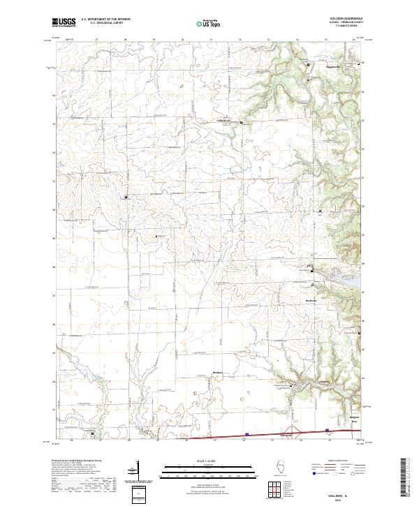
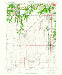
2024 Collison
Vermilion County, IL
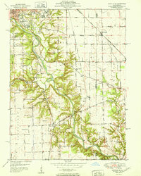
2024 Danville NE
Vermilion County, IL
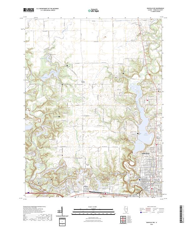
2024 Danville NW
Vermilion County, IL
2024 Danville SE
Vermilion County, IL
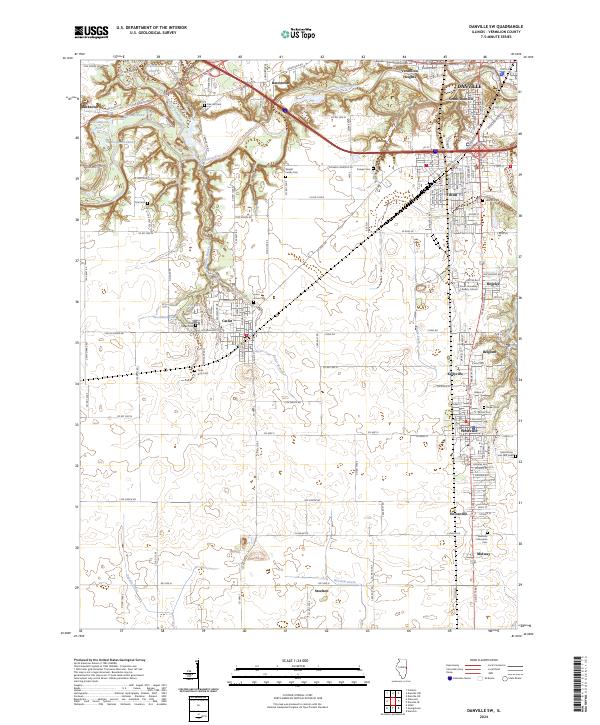
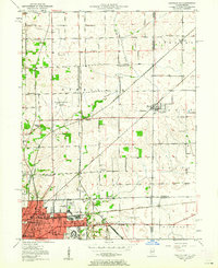
2024 Danville SW
Vermilion County, IL
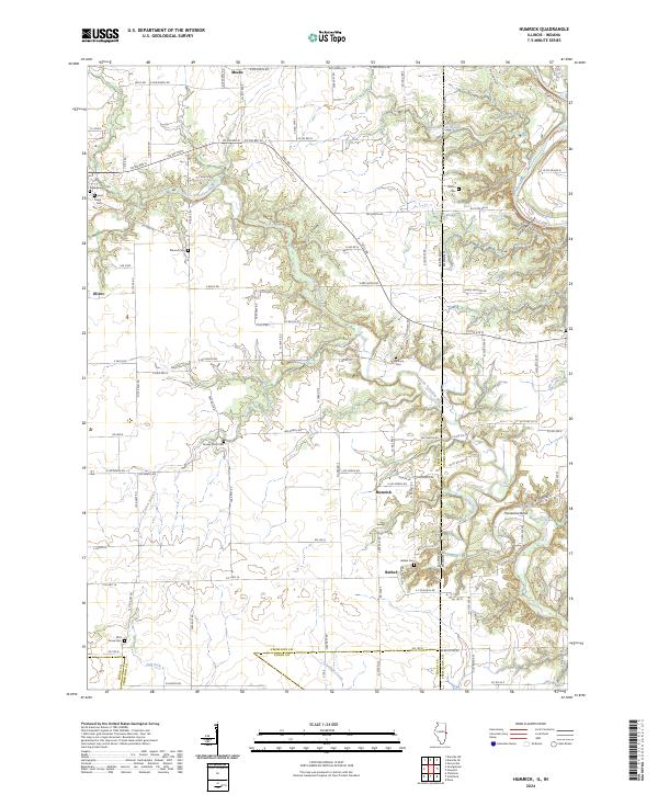
2024 Humrick
Vermilion County, IL