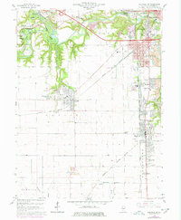
1966 Map of Danville SW
USGS Topo · Published 1978About this map
Kickapoo State Park occupies the northwest corner of this Vermilion County landscape, where the Salt Fork and Middle Fork converge into the Vermilion River. This mid-century survey documents a region defined by industrial transformation, specifically the legacy of coal extraction. Extensive areas are marked as reclaimed strip mine, showing the transition of the land from heavy industry back to recreational and natural space.
Find a feature on this map
67 named features on this map. Tap any name to fly to it.
Don’t see what you’re looking for? This feature index may not catch every label — zoom into the map to look around manually.
Map Details
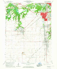
Editions of this 1966 Danville SW Map
2 editions found
Other maps of this area

1899 · Danville
USGS Topo · 1:62,500

1900 · Danville
USGS Topo · 1:62,500

1931 · Fithian
USGS Topo · 1:48,000

1943 · Fithian
USGS Topo · 1:62,500

1947 · Ridge Farm
USGS Topo · 1:62,500

1948 · Danville NW
USGS Topo · 1:24,000

1949 · Danville SW
USGS Topo · 1:24,000

1950 · Danville SW
USGS Topo · 1:24,000

1950 · Danville NW
USGS Topo · 1:24,000

1950 · Danville SE
USGS Topo · 1:24,000