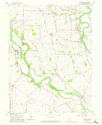
1958 Map of Darbyville
USGS Topo · Published 1972About this map
Big Darby Creek meanders through the heart of this landscape, carving a fertile corridor between the townships of Muhlenberg and Jackson. The village of Darbyville serves as a primary settlement point along the creek, featuring a Gaging Sta and a nearby Township Cem. The region is defined by its agricultural layout, with a dense network of country roads named for local families, such as Hudson Road, Gulick Road, and Mc Lean Mill Road.
Find a feature on this map
44 named features on this map. Tap any name to fly to it.
Don’t see what you’re looking for? This feature index may not catch every label — zoom into the map to look around manually.
Map Details
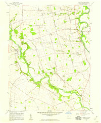
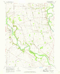
Editions of this 1958 Darbyville Map
3 editions found
Other maps of this area

1911 · Era
USGS Topo · 1:62,500

1913 · Era
USGS Topo · 1:62,500

1914 · Circleville
USGS Topo · 1:62,500

1923 · West Columbus
USGS Topo · 1:62,500

1925 · East Columbus
USGS Topo · 1:62,500

1925 · West Columbus
USGS Topo · 1:62,500

1943 · Era
USGS Topo · 1:62,500

1943 · Circleville
USGS Topo · 1:62,500

1943 · East Columbus
USGS Topo · 1:62,500

1947 · Columbus
USGS Topo · 1:250,000