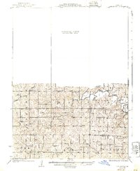
1925 Map of Darlington
USGS Topo · Published 1939About this map
Ford City and the surrounding townships of Jackson, Miller, and Grant appear here in a transition between the old rural schoolhouse era and modern transport. The northern half of the quadrangle is dominated by the Grand River, where early local infrastructure is represented by Crawford Bridge and Osborne Bridge. The rail-focused economy of the 1920s is evident in the path of the Chicago Burlington and Quincy railroad as it cuts through the northwest corner near Millen School.
Find a feature on this map
40 named features on this map. Tap any name to fly to it.
Don’t see what you’re looking for? This feature index may not catch every label — zoom into the map to look around manually.
Map Details
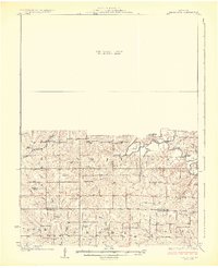
Editions of this 1925 Darlington Map
3 editions found
Other maps of this area

1923 · Clarksdale
USGS Topo · 1:62,500

1923 · Maysville
USGS Topo · 1:62,500

1924 · Winston
USGS Topo · 1:62,500

1925 · Pattonsburg
USGS Topo · 1:62,500

1925 · Clarksdale
USGS Topo · 1:62,500

1925 · Stanberry
USGS Topo · 1:62,500

1925 · Maysville
USGS Topo · 1:62,500

1925 · Darlington
USGS Topo · 1:62,500

1939 · Stanberry
USGS Topo · 1:62,500

1940 · Parnell
USGS Topo · 1:62,500