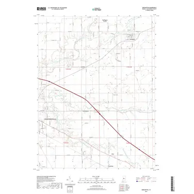
2019 Map of Darlington
USGS Topo · Published 2019About this map
Sugar Creek winds through the northern landscape of Montgomery County, anchoring the town of Darlington, where a defined street grid includes W Main St, Adams St, and Franklin St. The area's agricultural character is defined by a dense network of county roads and drainage features like the Needham Booher Ditch. Moving south, the map documents smaller communities such as Garfield, Smartsburg, Mace, and Linnsburg, each positioned along established transit corridors. The eastern edge of Crawfordsville appears in the southwest, showing the city's modern expansion toward the Walnut Fork Sugar Creek. Local heritage is preserved at sites like Greenlawn Cem and Hutton Cem, while Darlington Woods and Ropkey Field provide distinct landmarks within this rural landscape.
Find a feature on this map
87 named features on this map. Tap any name to fly to it.
Don’t see what you’re looking for? This feature index may not catch every label — zoom into the map to look around manually.
Map Details
Editions of this 2019 Darlington Map
This is the sole edition of this map. No revisions or reprints were ever made.
Other maps of this area

1953 · Danville
USGS Topo · 1:250,000

1953 · Indianapolis
USGS Topo · 1:250,000

1955 · Danville
USGS Topo · 1:250,000

1956 · Danville
USGS Topo · 1:250,000

1956 · Indianapolis
USGS Topo · 1:250,000

1956 · Crawfordsville
USGS Topo · 1:24,000

1956 · New Market
USGS Topo · 1:24,000

1957 · Indianapolis
USGS Topo · 1:250,000

1957 · New Ross
USGS Topo · 1:24,000

1958 · Darlington
USGS Topo · 1:24,000