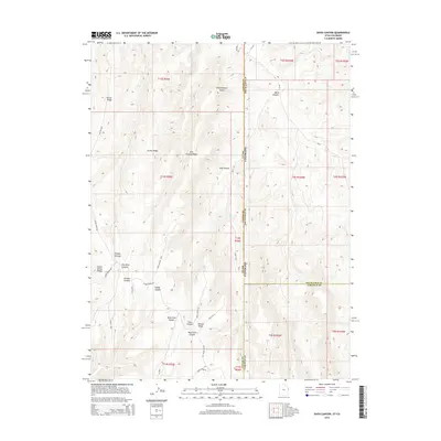
2014 Map of Davis Canyon
USGS Topo · Published 2014About this map
Davis Canyon anchors this high-elevation landscape along the border of Colorado and Utah, where the rugged topography of the Piceance Basin meets the Uinta Basin. The area is defined by a series of prominent ridges and deep drainages, such as Atchee Ridge and Side Canyon Ridge, which dictate the paths of early primitive routes. The map records a network of established tracks and mountain roads, including Atchee Ridge Rd and Rector Rdg, that navigate between the steep-walled canyons of Dragon Canyon and August Canyon. This 2014 survey documents the complex geography of the state line where Uintah and Rio Blanco Counties meet. Water remains a critical element in this arid environment, marked by solitary points like Mud Spring. The naming conventions of features like Hells Hole Canyon and West Tent Canyon reflect the difficult terrain faced by early surveyors and ranchers.
Find a feature on this map
43 named features on this map. Tap any name to fly to it.
Don’t see what you’re looking for? This feature index may not catch every label — zoom into the map to look around manually.
Map Details
Editions of this 2014 Davis Canyon Map
This is the sole edition of this map. No revisions or reprints were ever made.
Other maps of this area

1885 · East Tavaputs
USGS Topo · 1:250,000

1956 · Grand Junction
USGS Topo · 1:250,000

1959 · Grand Junction
USGS Topo · 1:250,000

1960 · Grand Junction
USGS Topo · 1:250,000

1962 · Grand Junction
USGS Topo · 1:250,000

1964 · Grand Junction
USGS Topo · 1:250,000

1964 · Texas Creek
USGS Topo · 1:24,000

1964 · East Evacuation Creek
USGS Topo · 1:24,000

1964 · Baxter Pass
USGS Topo · 1:24,000

1965 · Grand Junction
USGS Topo · 1:250,000