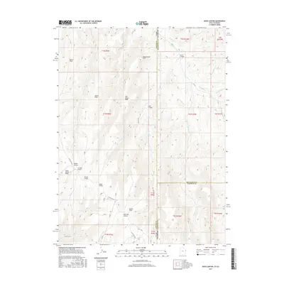
2017 Map of Davis Canyon
USGS Topo · Published 2017About this map
Atchee Ridge and the high plateaus of the Utah-Colorado borderland define this landscape, where the high desert is carved by a complex network of seasonal drainages. The map highlights the transition from the Uintah Basin southward, marked by the deep incisions of Dragon Canyon and Dry Burn Canyon. Transportation in this remote corner relies on historic routes such as Atchee Ridge Rd, which follows the high ground between watersheds. The drainage patterns of Evacuation Cr and its tributaries, including Big Bluejay Cr, suggest the erosional forces that have shaped the Book Cliffs region over millennia. For those studying the topography of the Uinta County and Rio Blanco County line, the map provides precise data on landmarks like Displacement Point and the secluded Mud Spring, offering a clear view of the area's physical geography in the early 21st century.
Find a feature on this map
37 named features on this map. Tap any name to fly to it.
Don’t see what you’re looking for? This feature index may not catch every label — zoom into the map to look around manually.
Map Details
Editions of this 2017 Davis Canyon Map
This is the sole edition of this map. No revisions or reprints were ever made.
Other maps of this area

1885 · East Tavaputs
USGS Topo · 1:250,000

1956 · Grand Junction
USGS Topo · 1:250,000

1959 · Grand Junction
USGS Topo · 1:250,000

1960 · Grand Junction
USGS Topo · 1:250,000

1962 · Grand Junction
USGS Topo · 1:250,000

1964 · Grand Junction
USGS Topo · 1:250,000

1964 · Texas Creek
USGS Topo · 1:24,000

1964 · East Evacuation Creek
USGS Topo · 1:24,000

1964 · Baxter Pass
USGS Topo · 1:24,000

1965 · Grand Junction
USGS Topo · 1:250,000